AAØBW home page
|
AAØBW POTA Maps AAØBW home page |
|
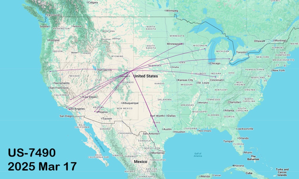
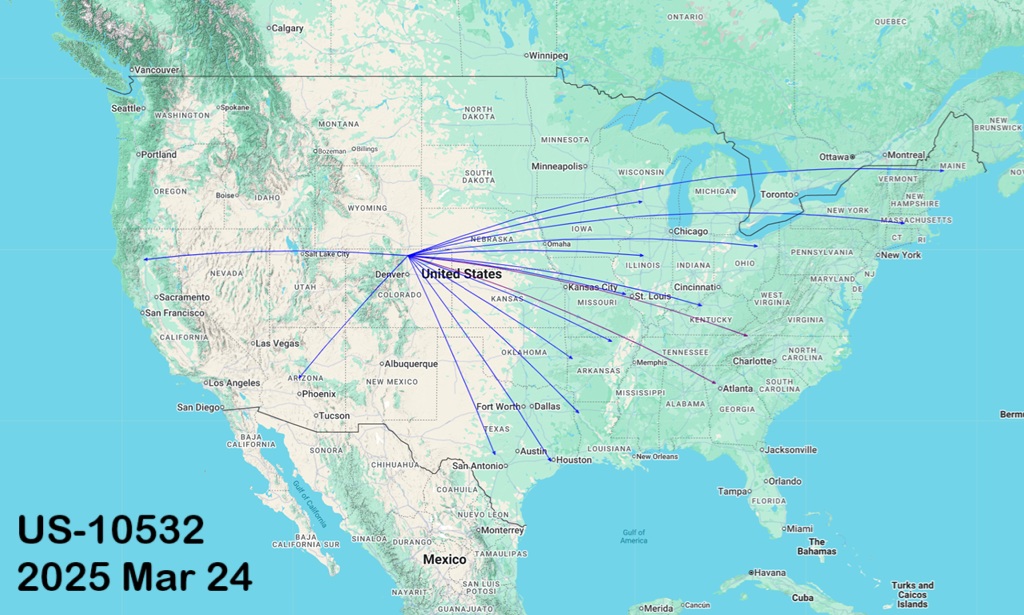
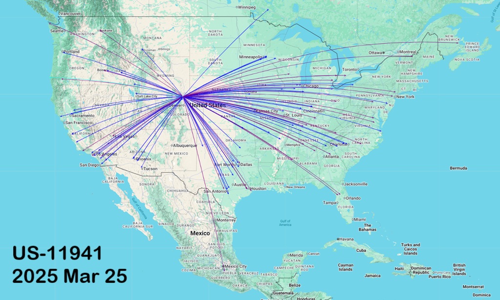
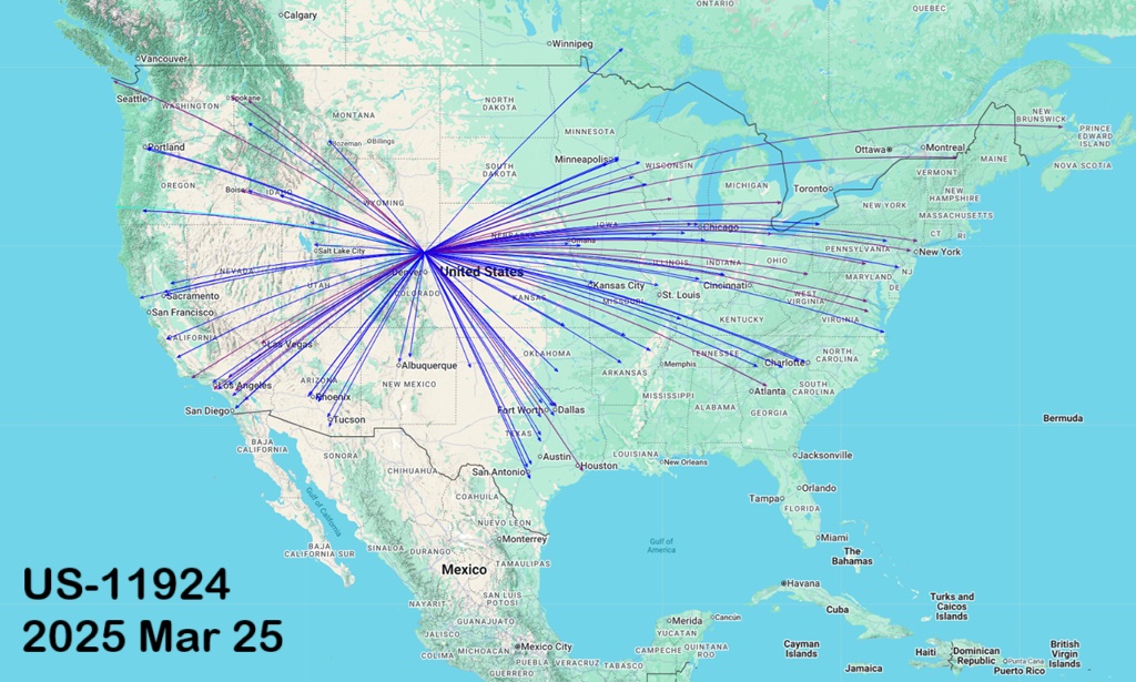
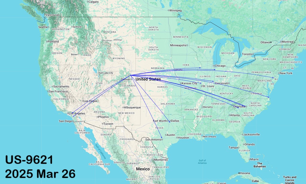
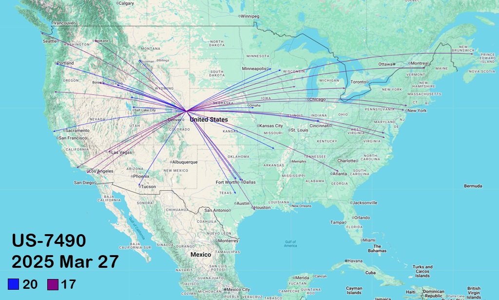
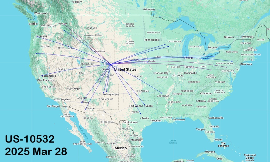
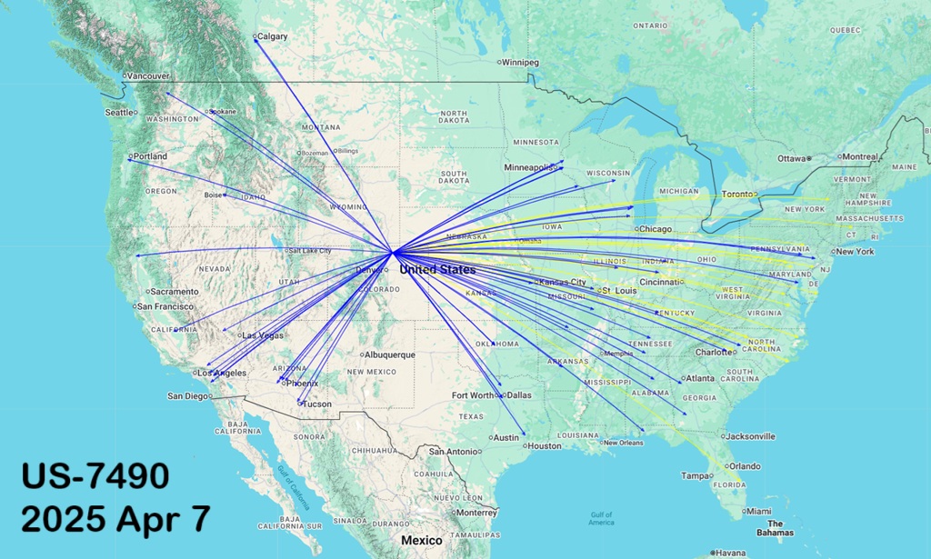
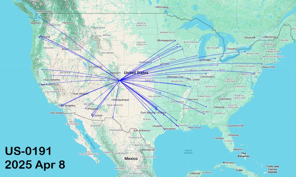
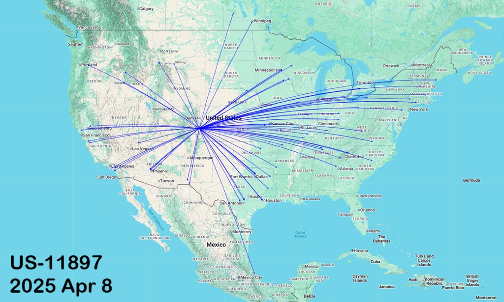
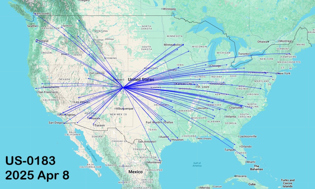
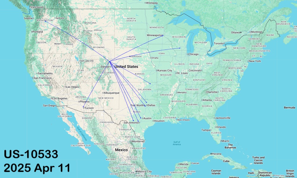
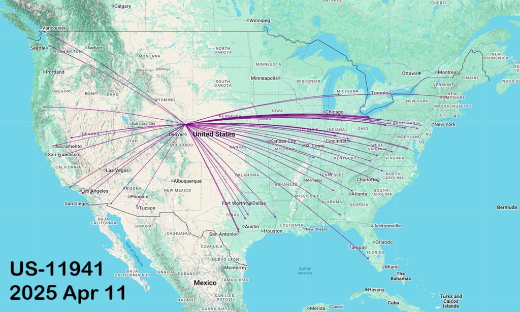
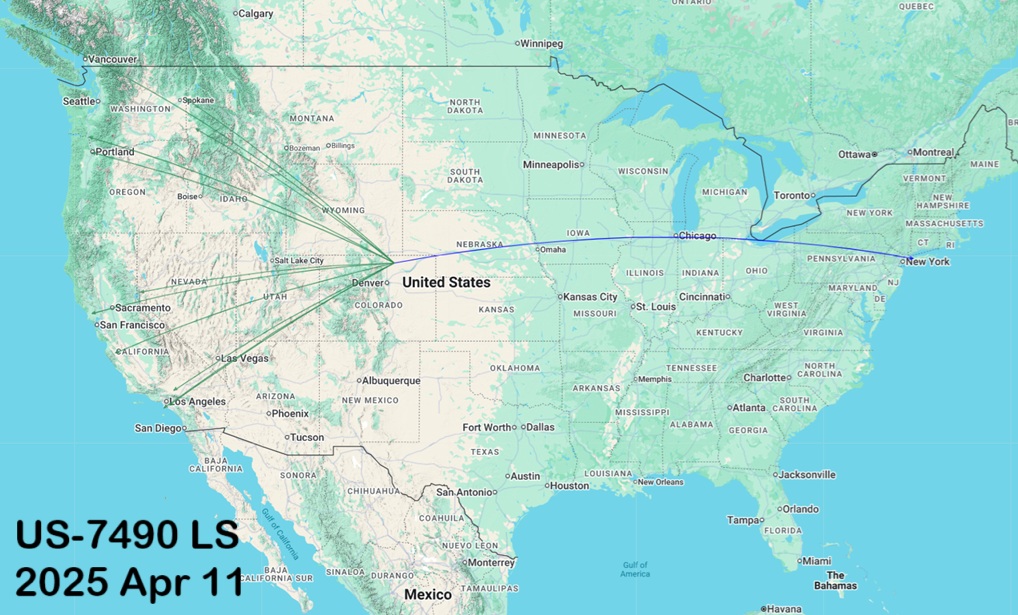
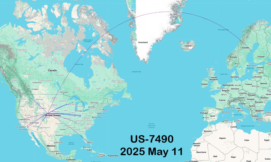
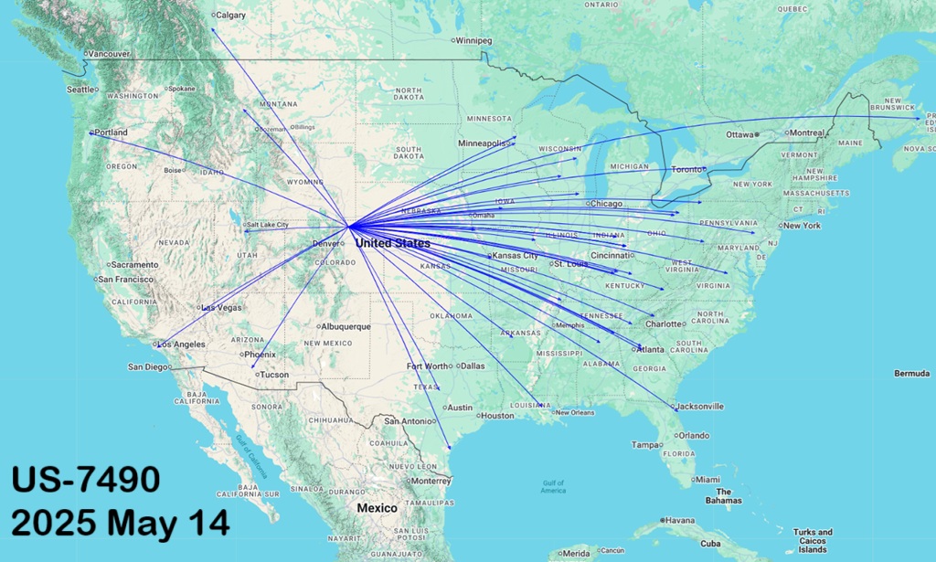
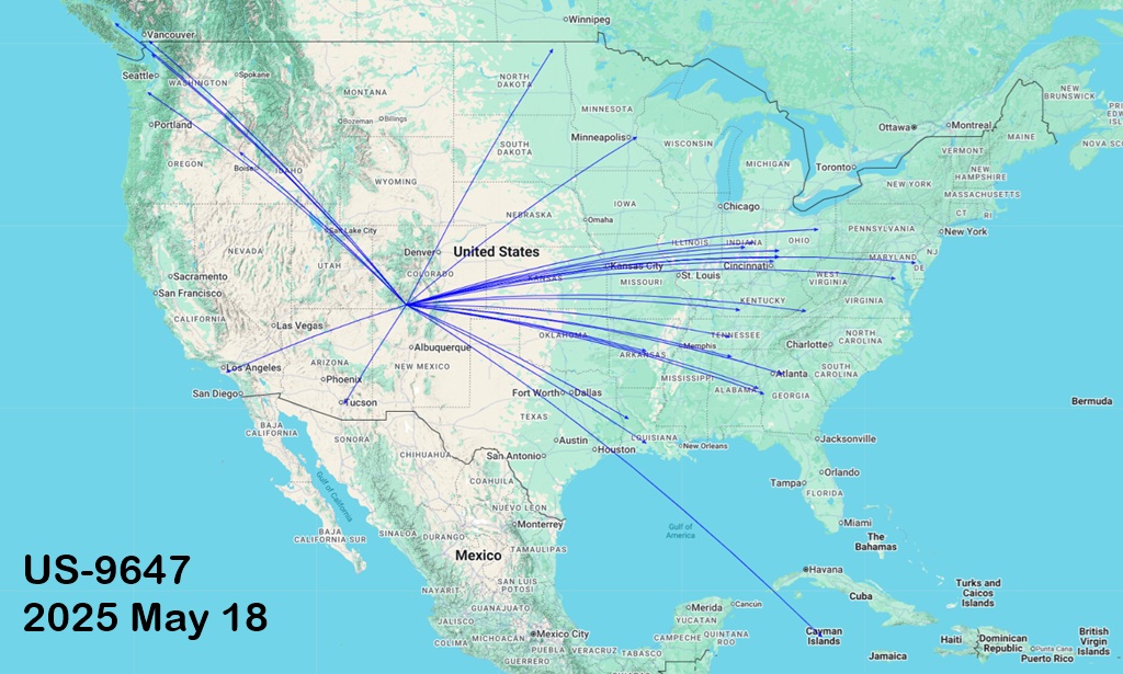
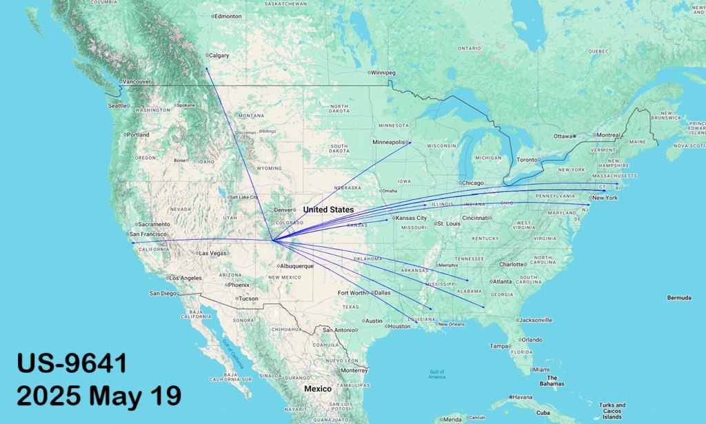
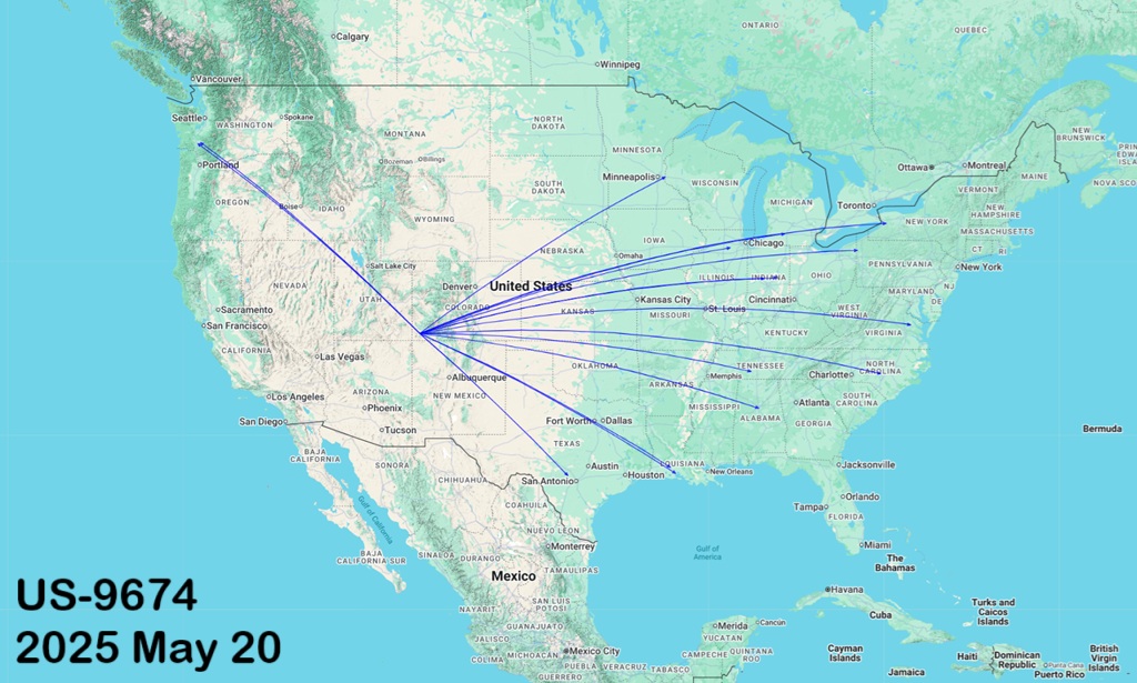
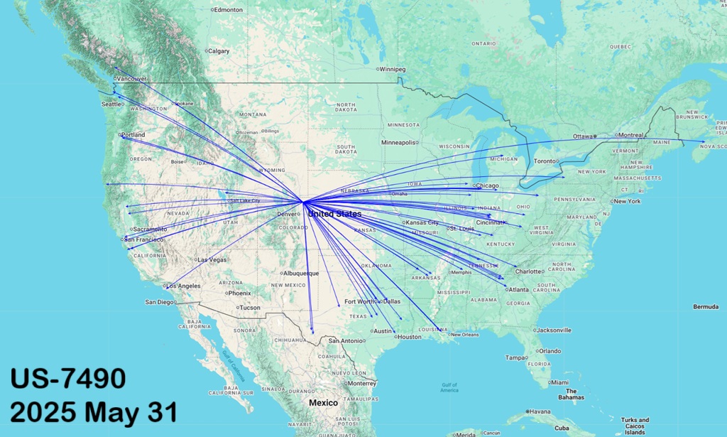
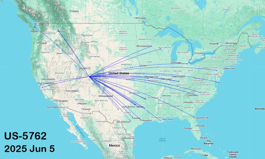
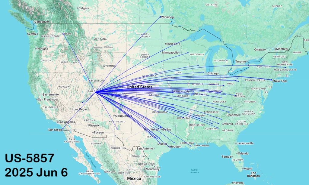
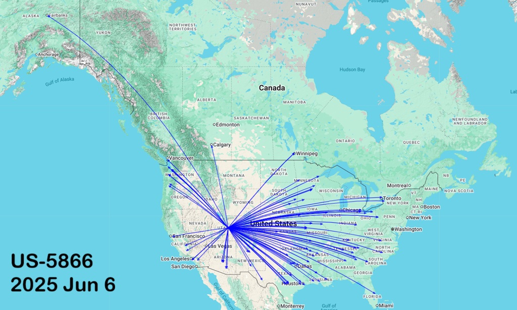
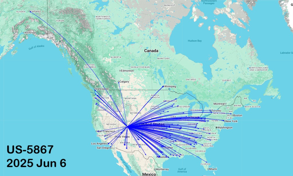
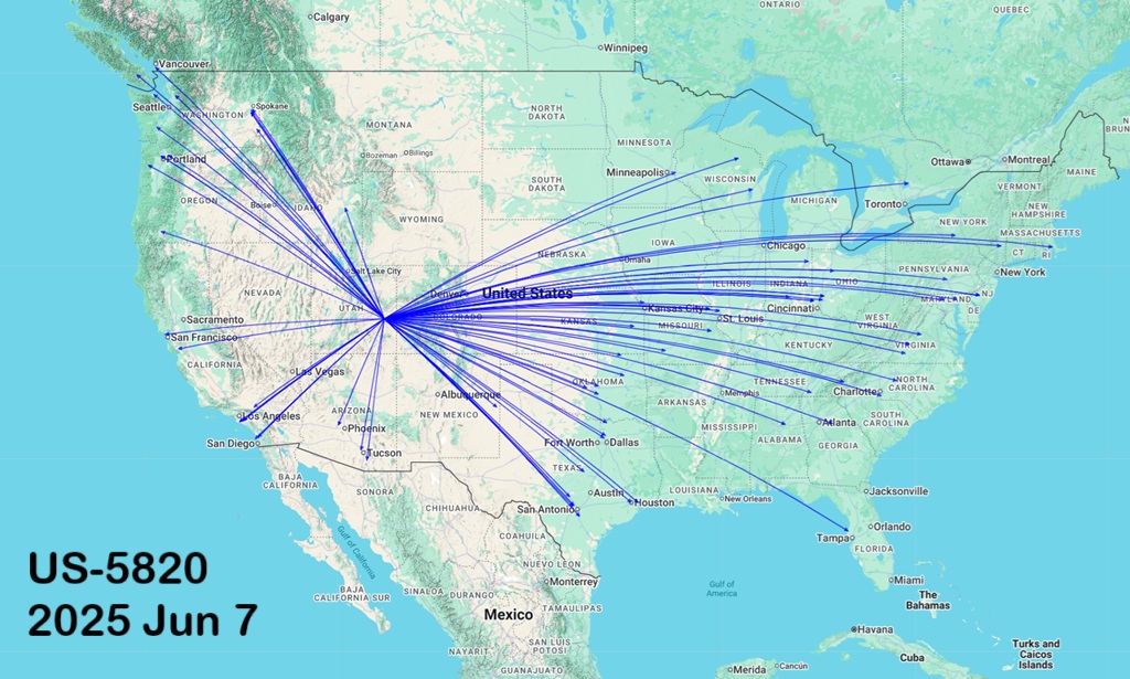
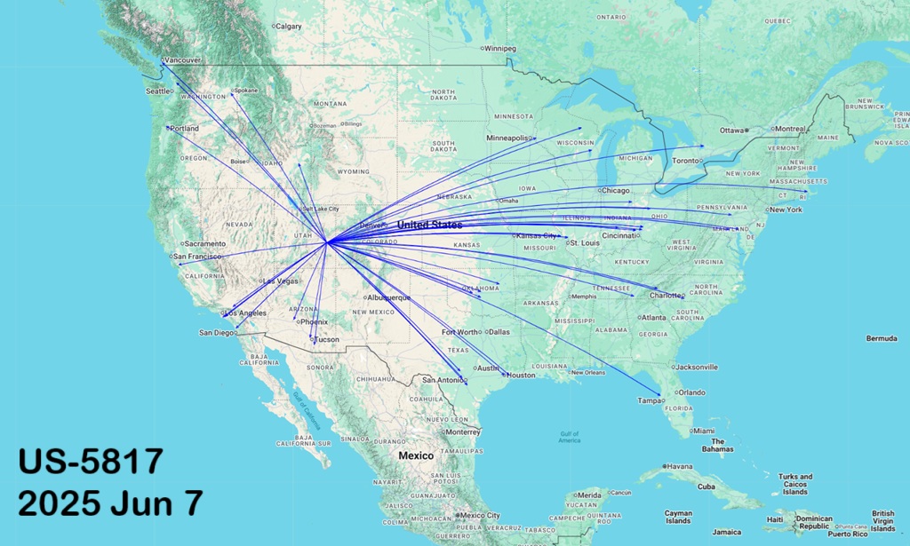
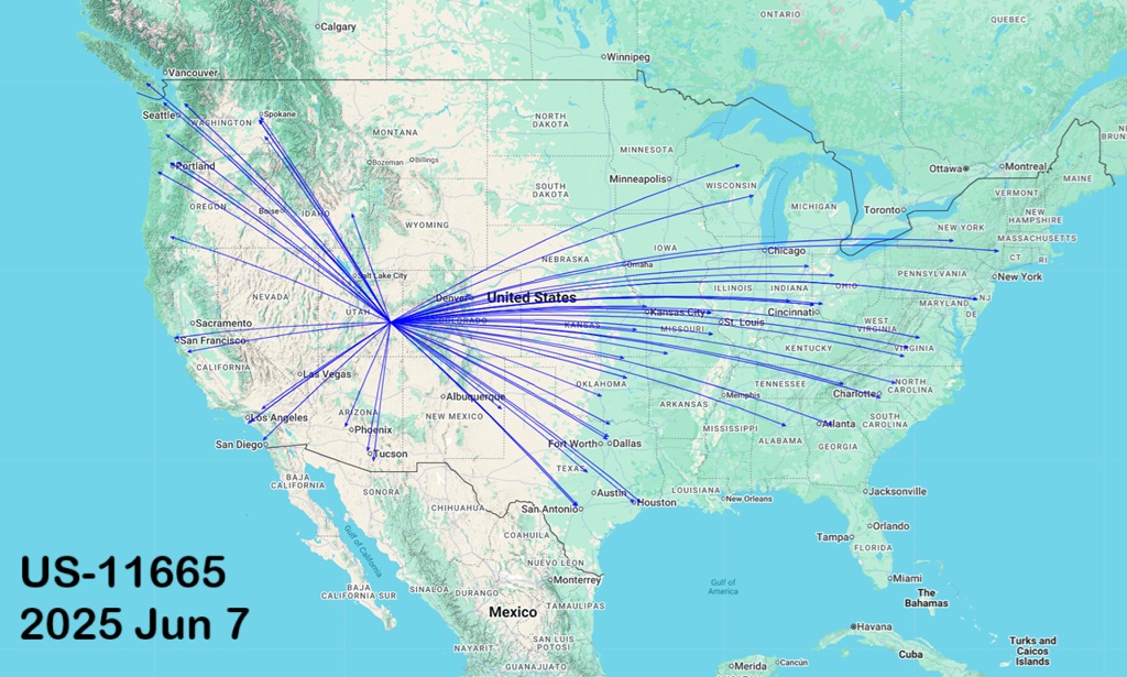
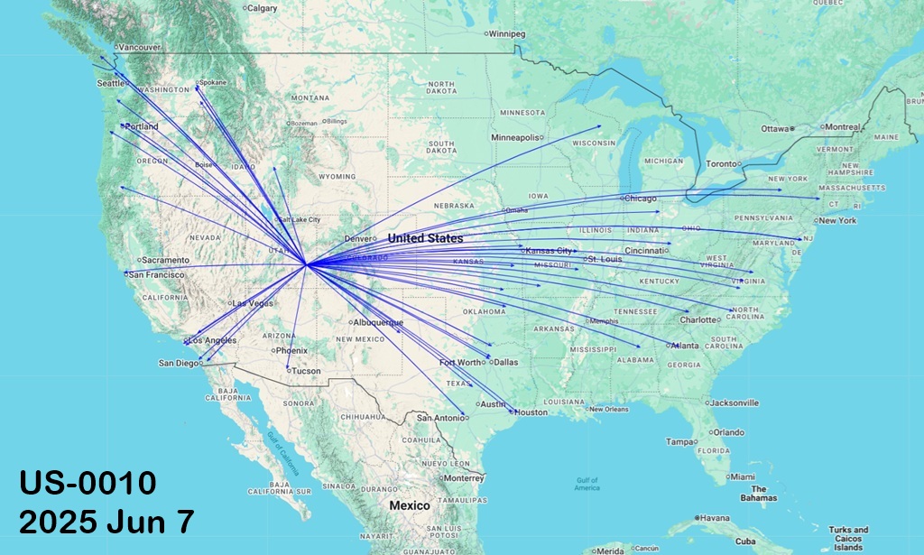
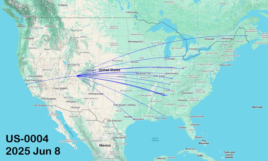
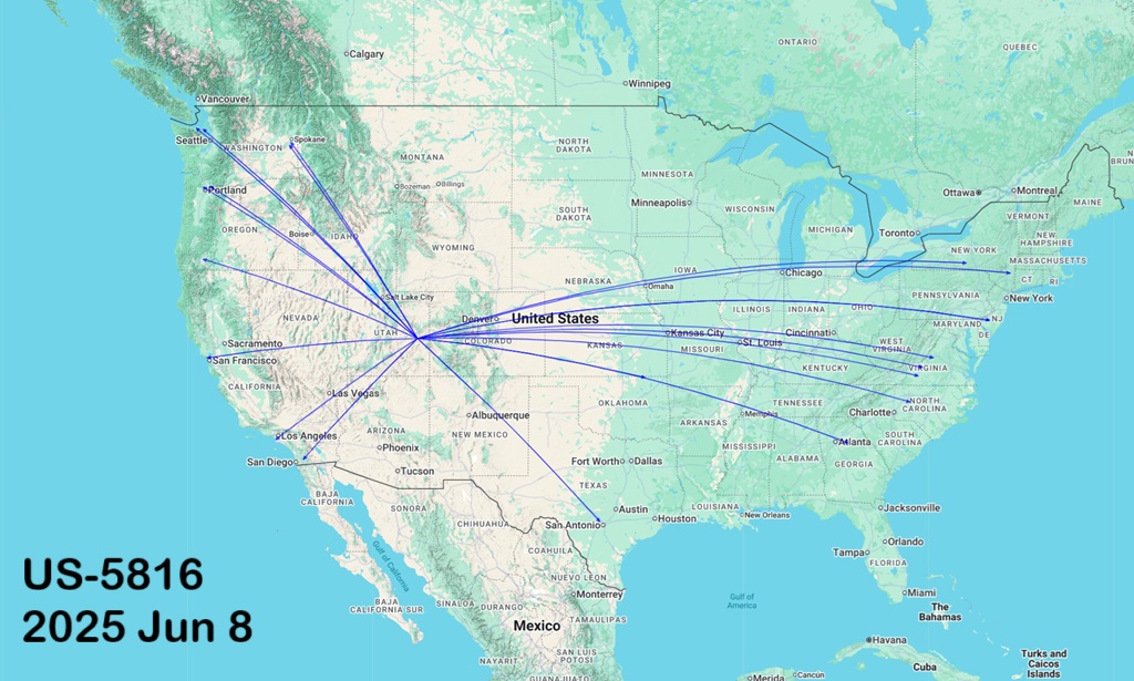
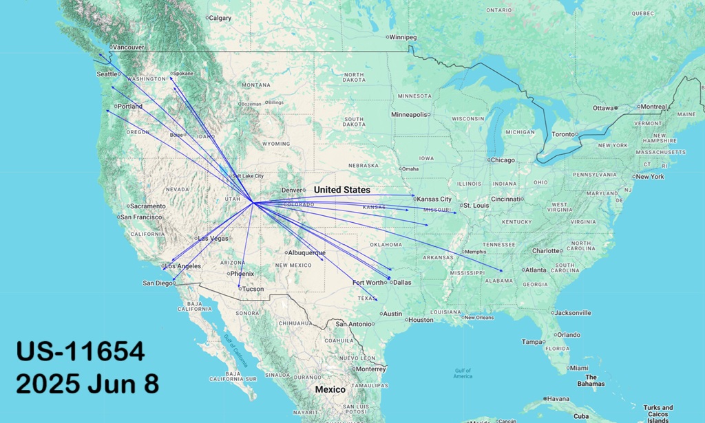
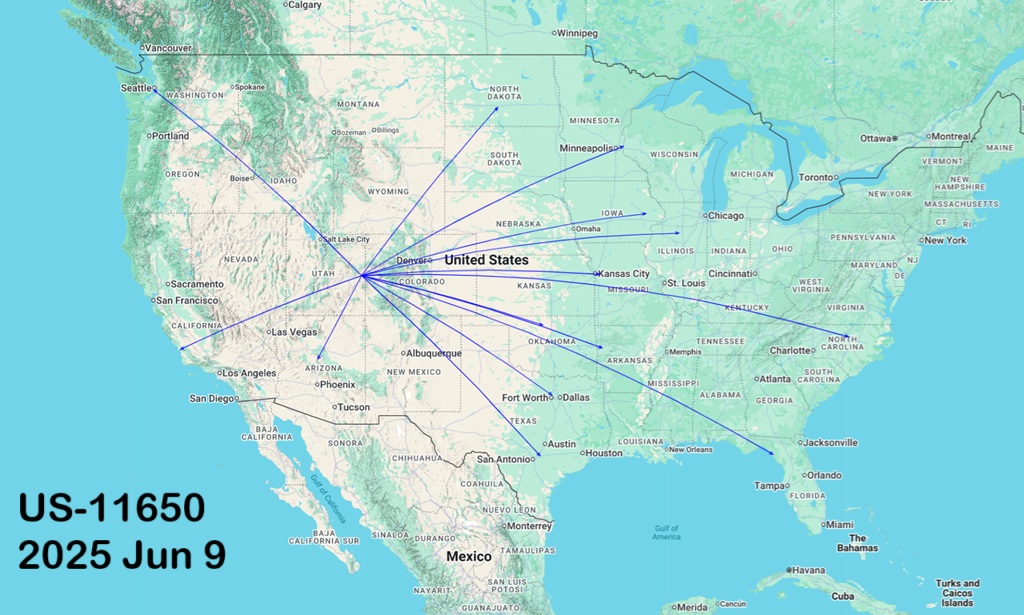
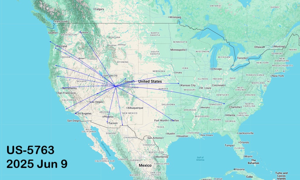
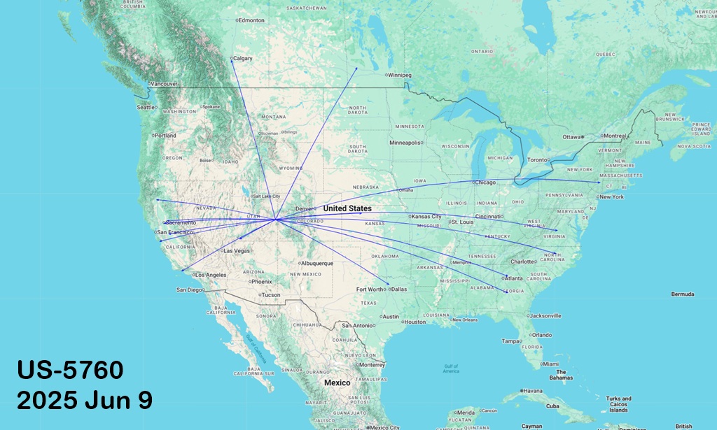
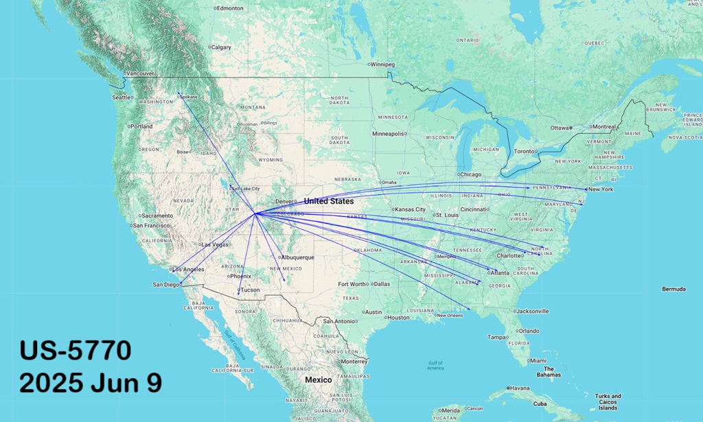
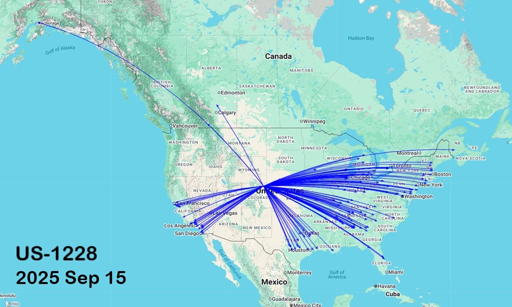
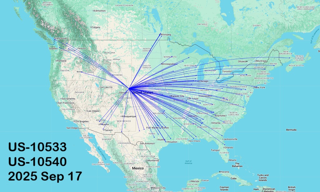
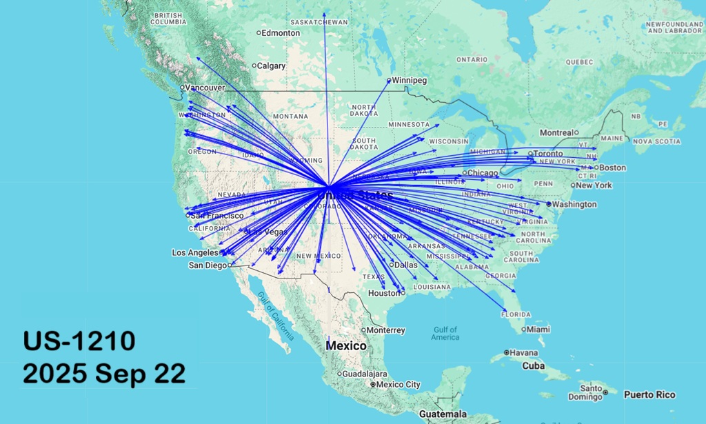
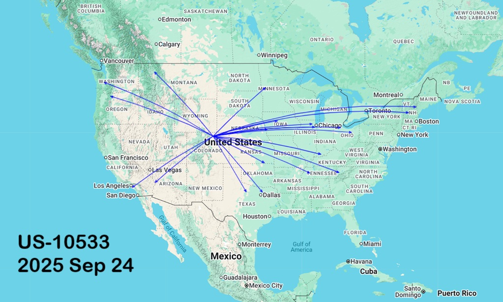
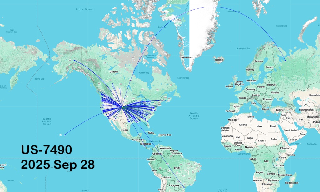
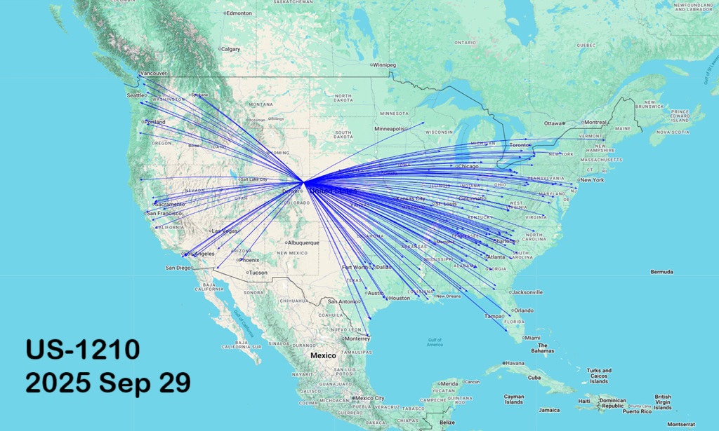
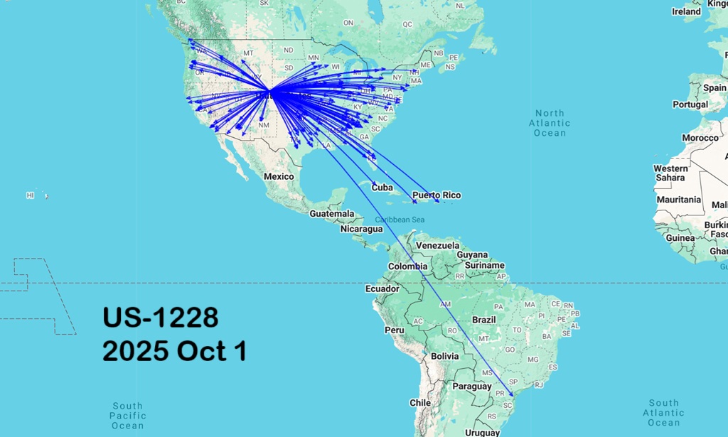
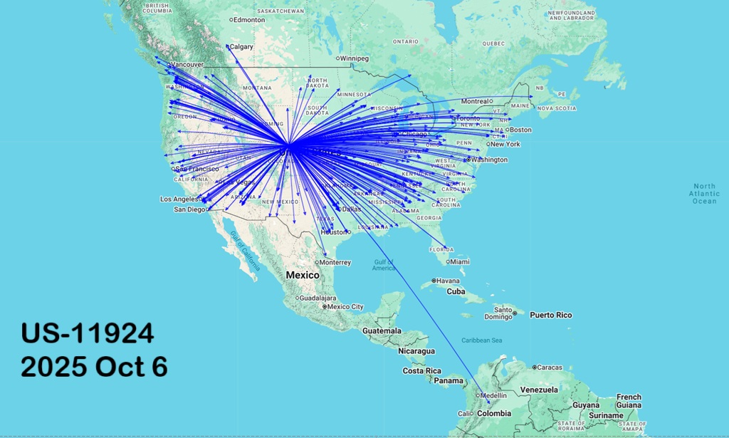
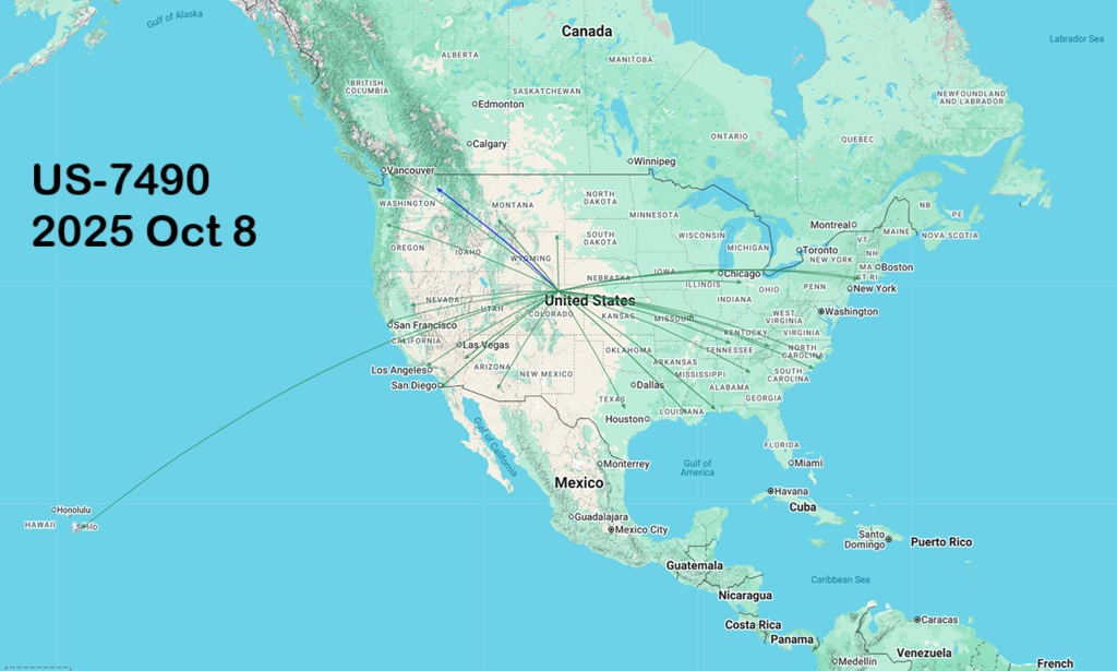
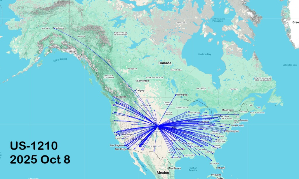
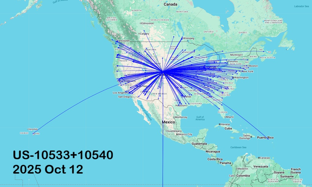
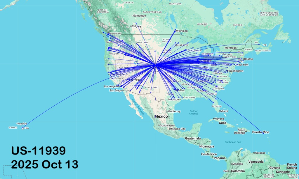
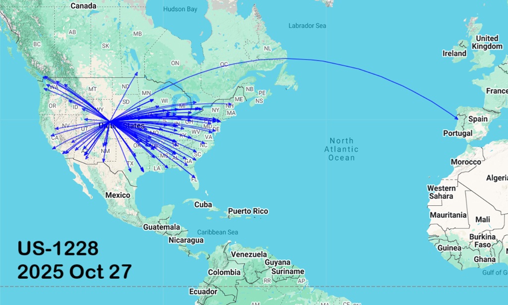
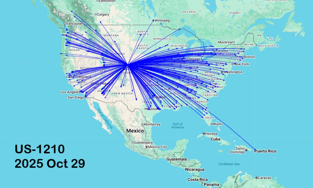
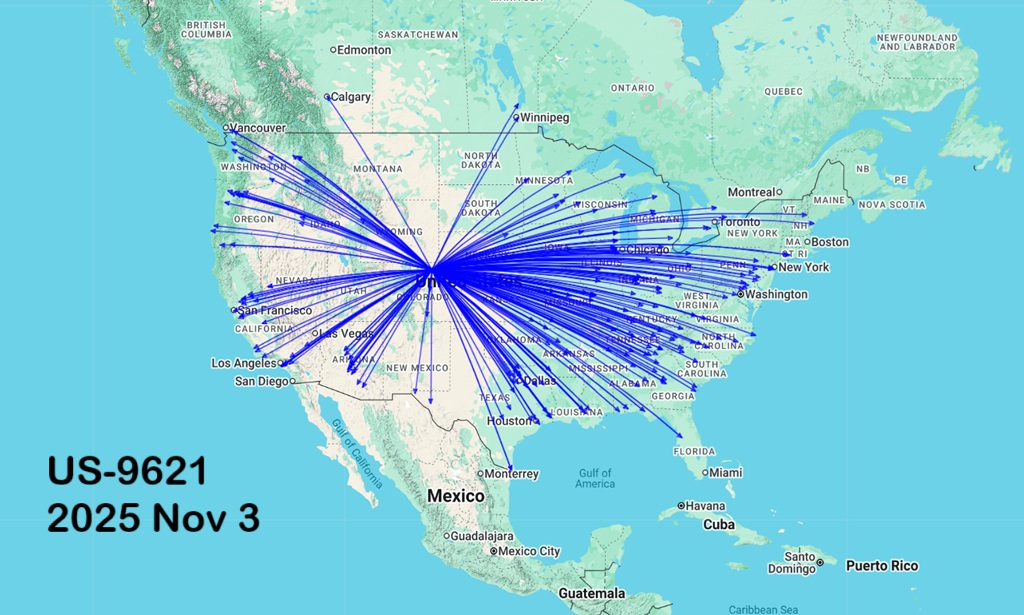
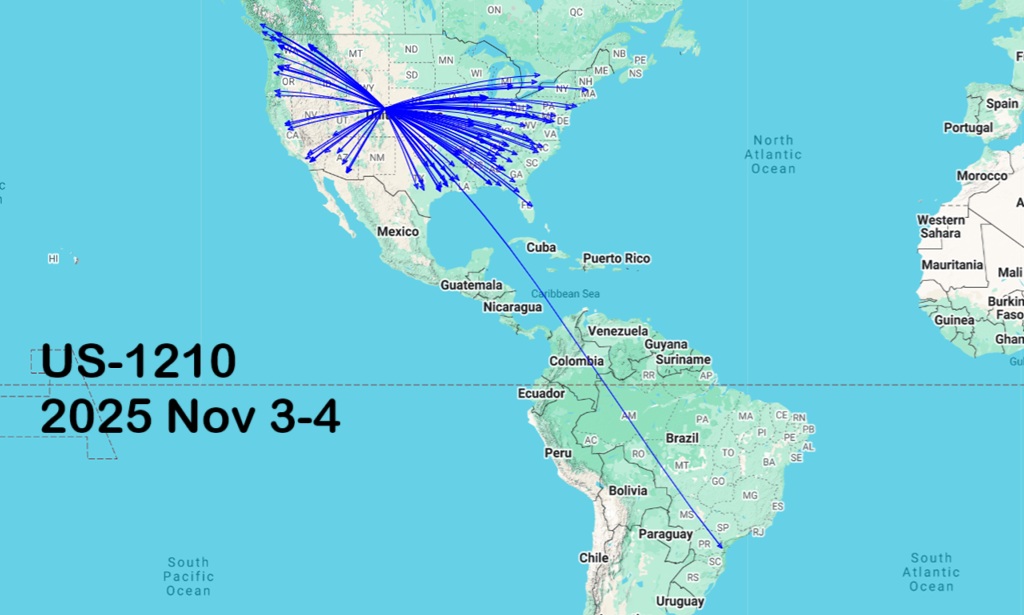
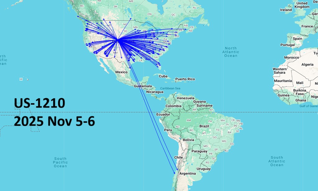
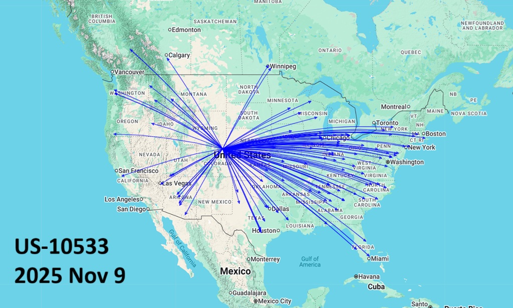
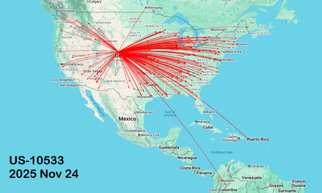
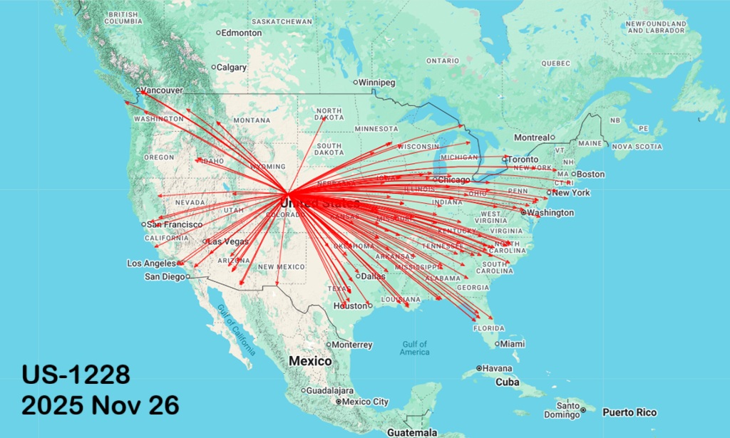
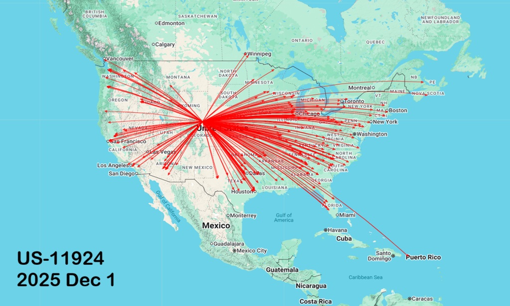
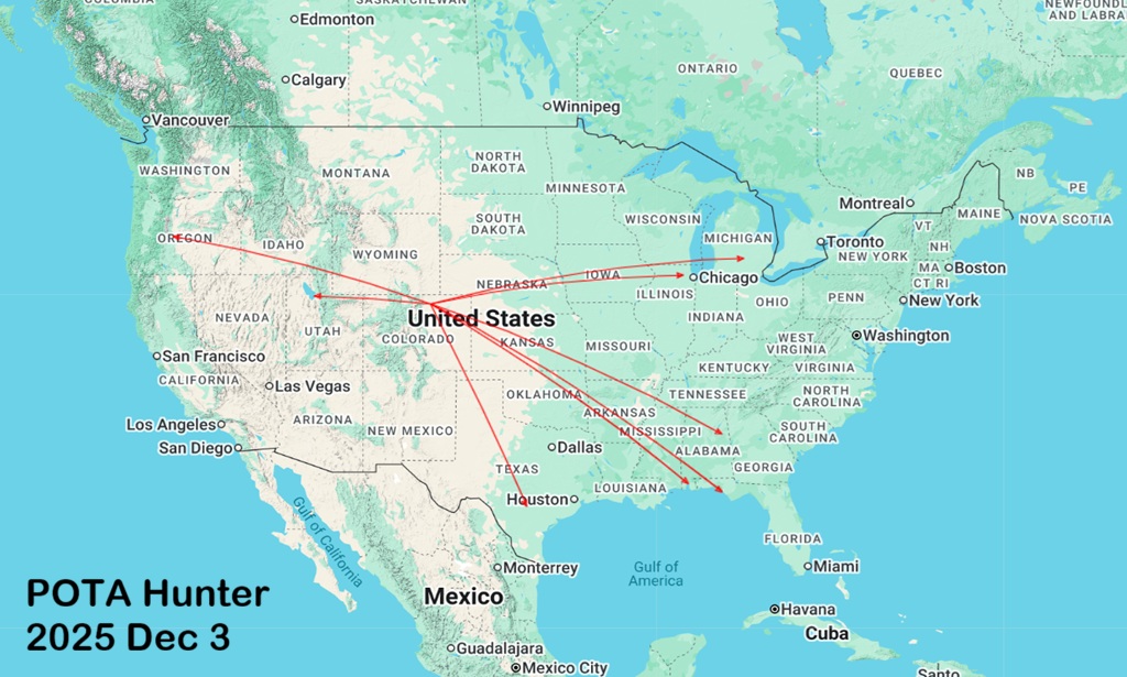
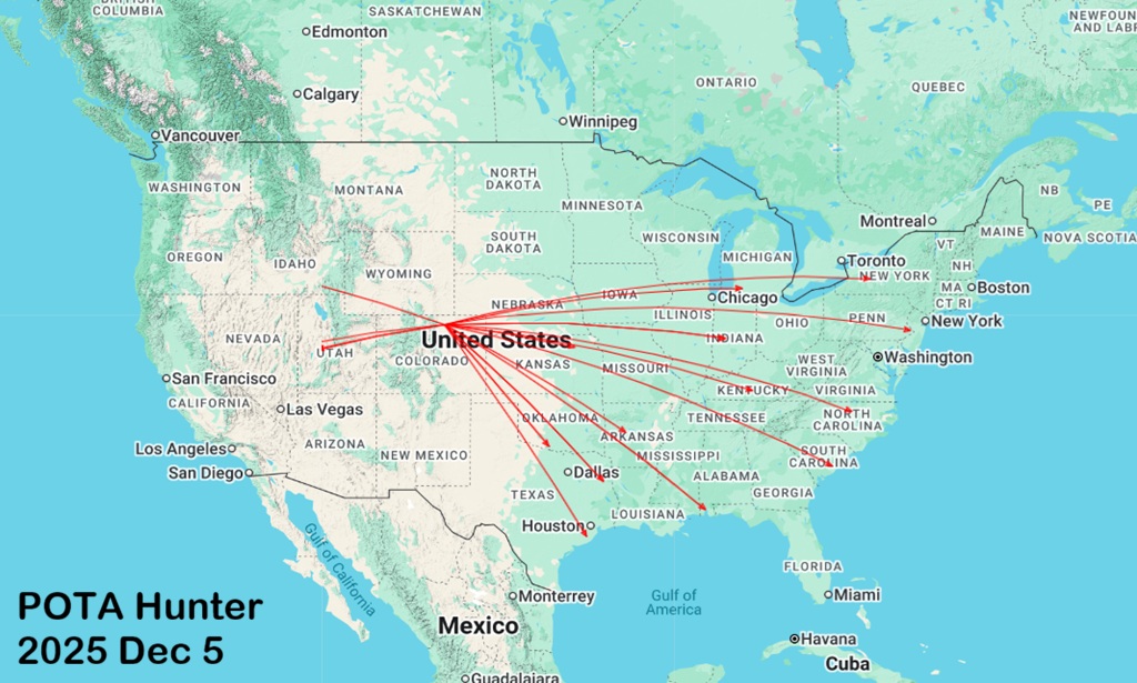
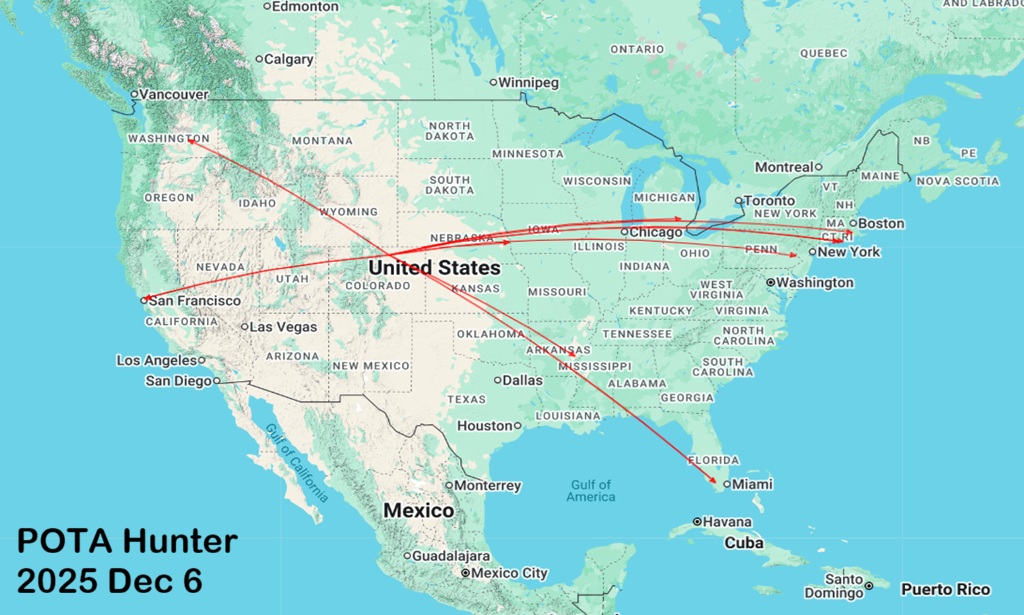
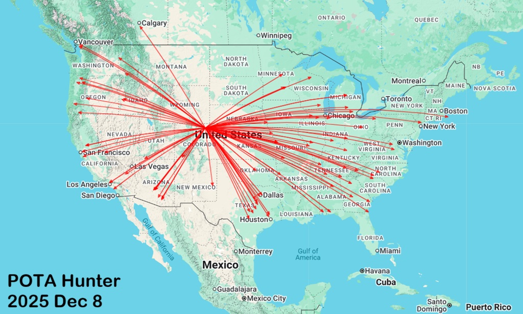
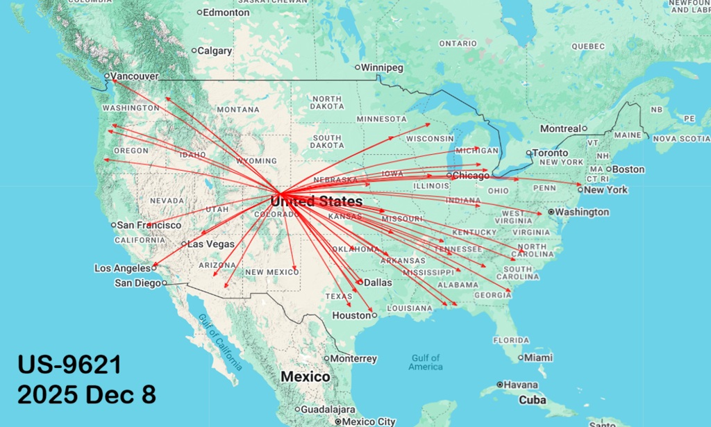
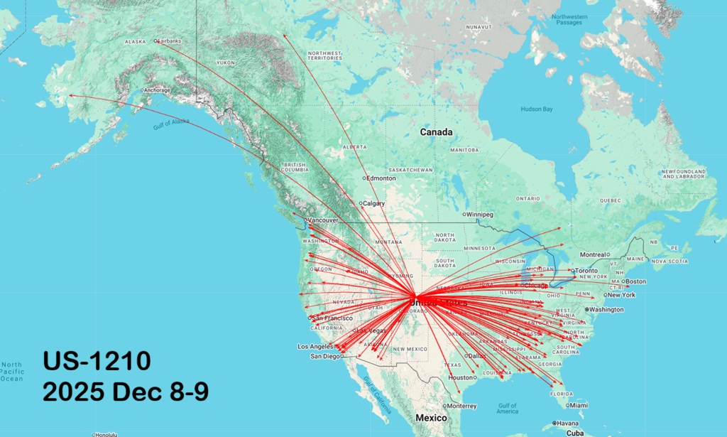
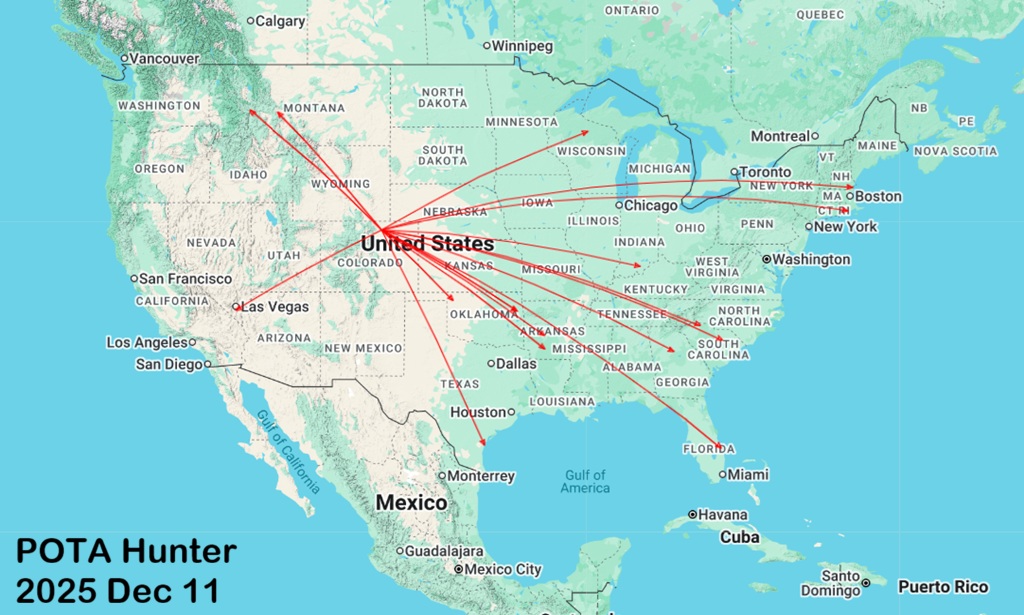
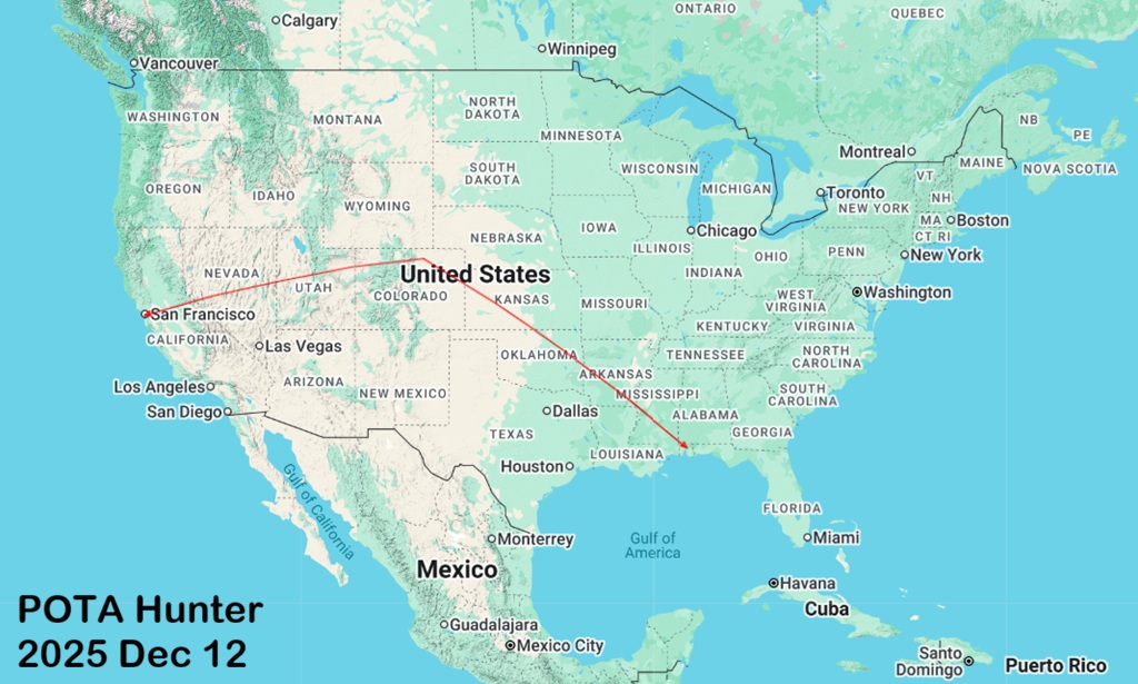
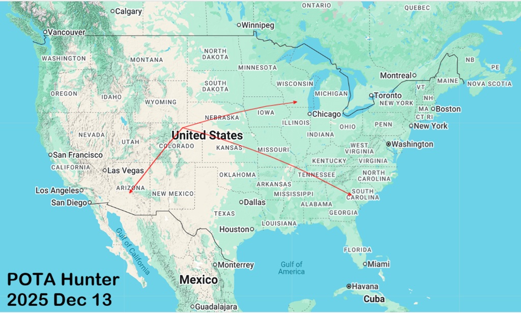
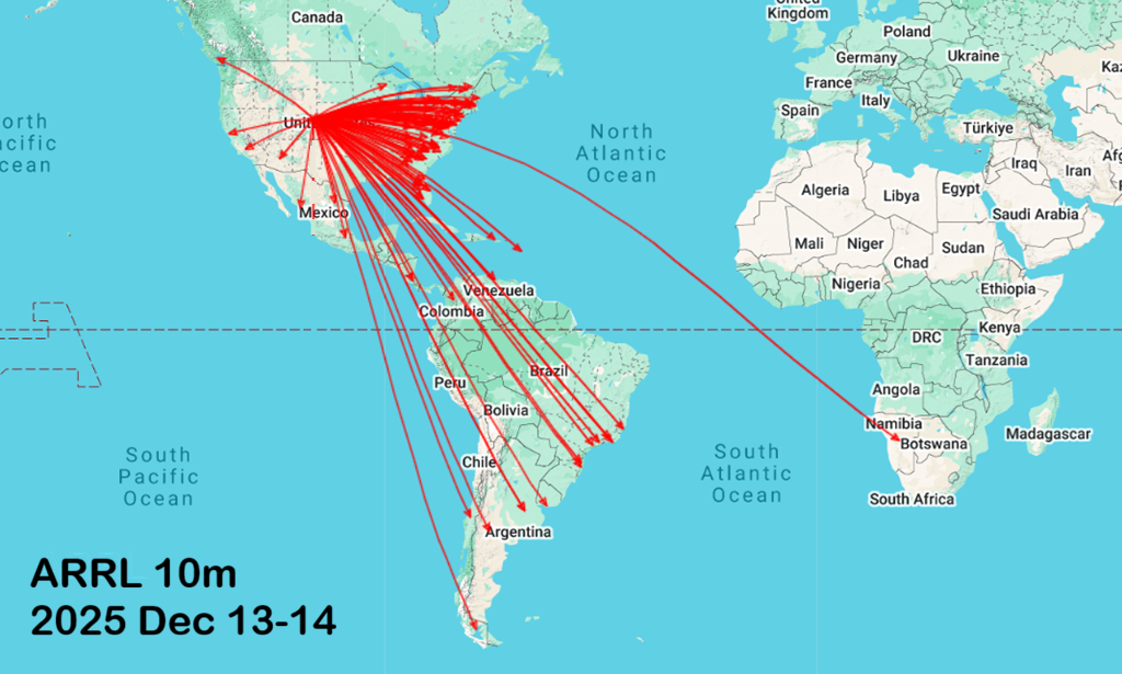
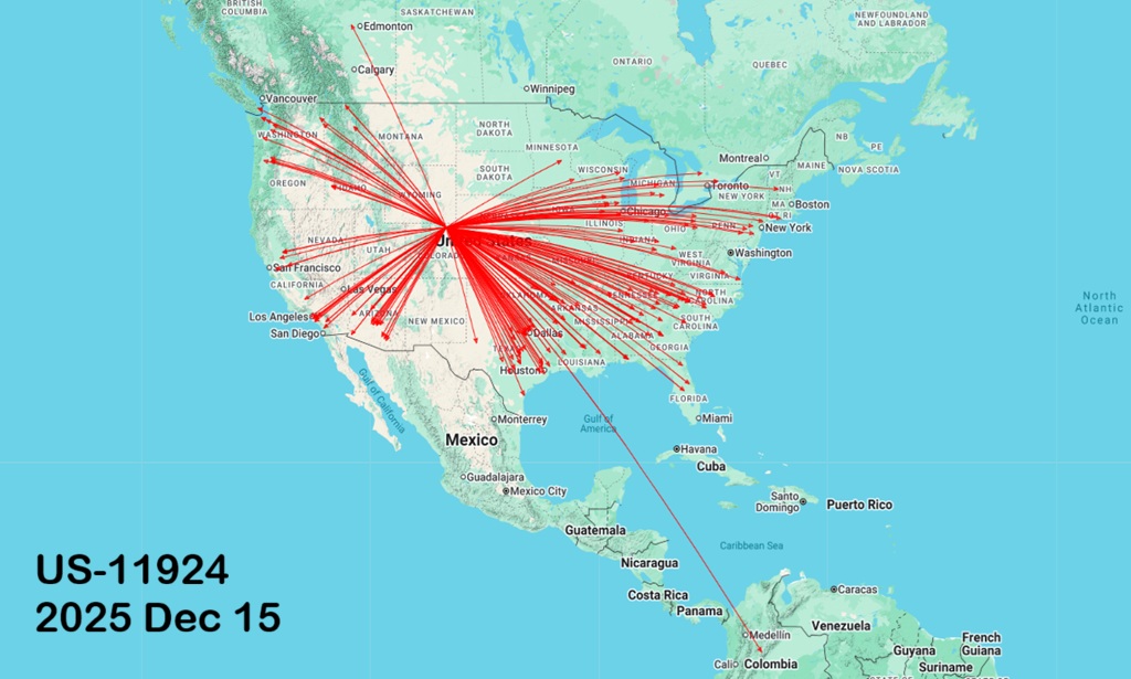
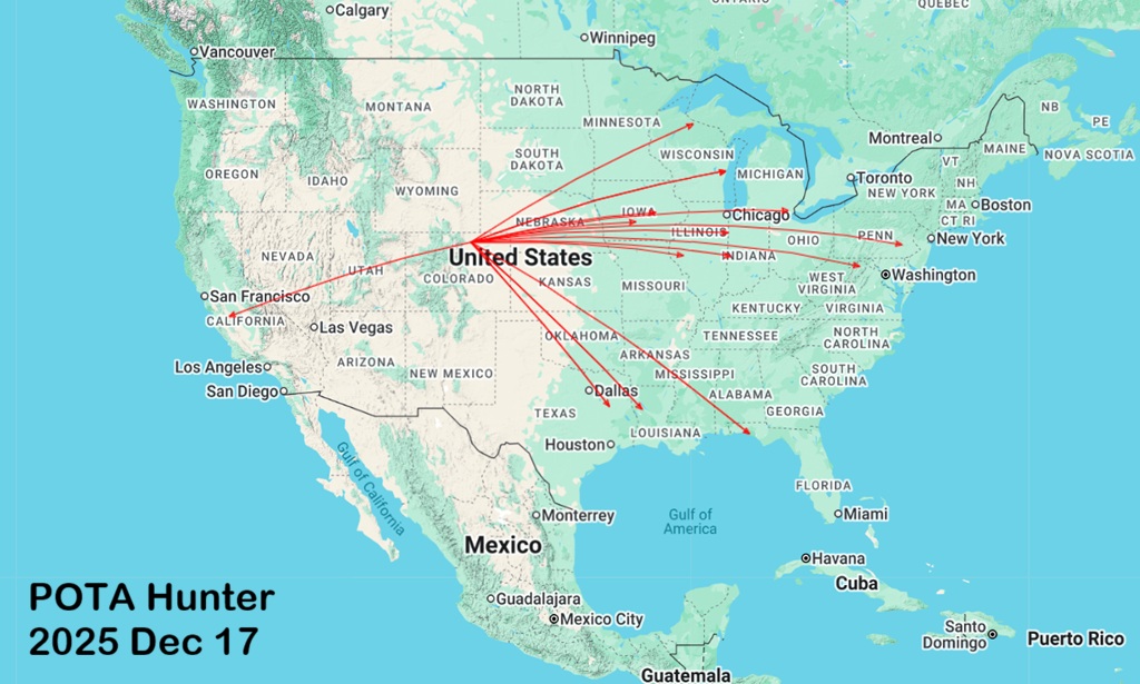
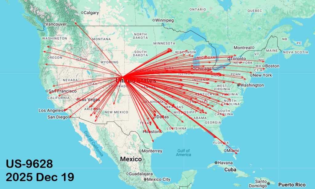
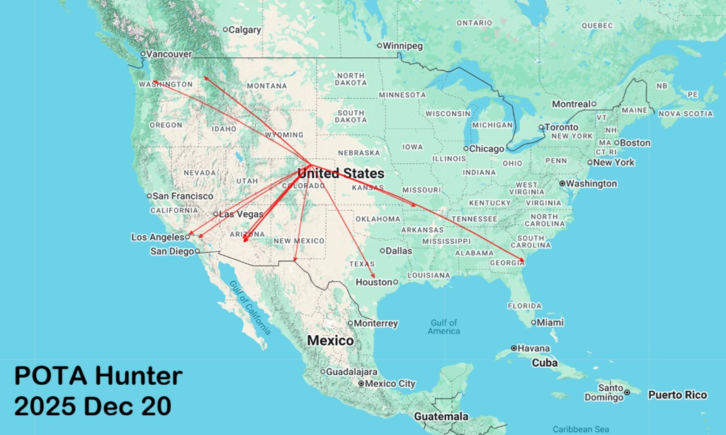
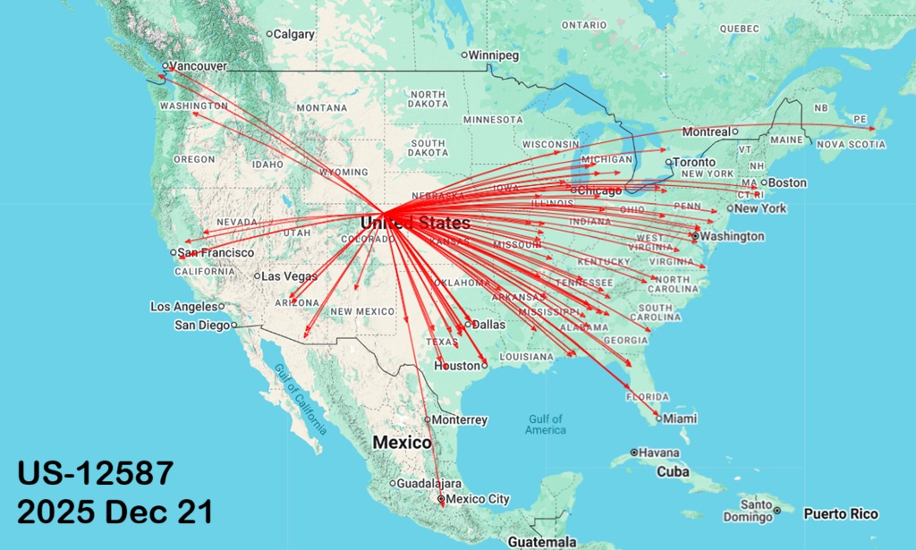
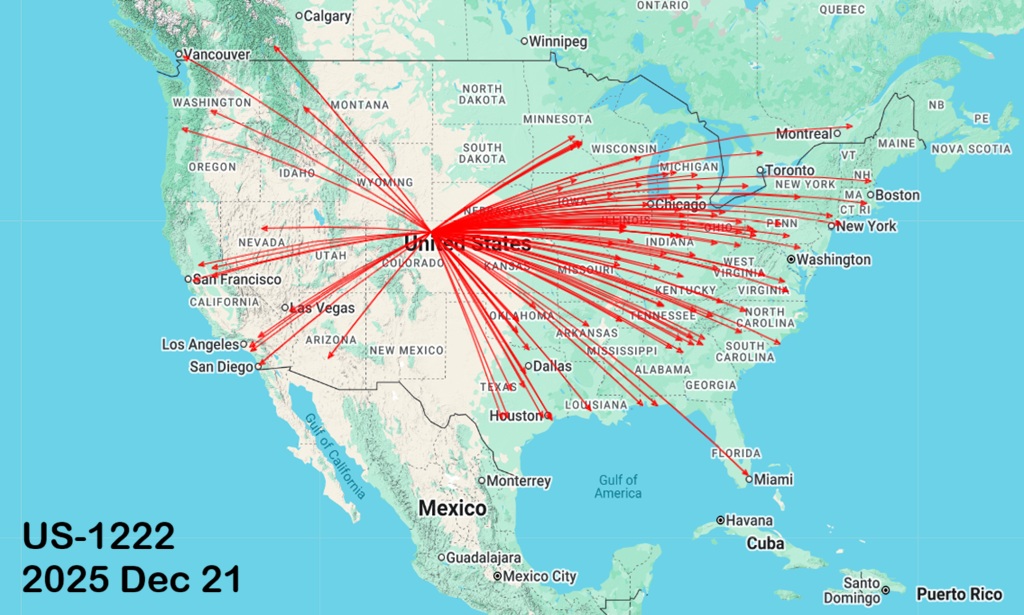
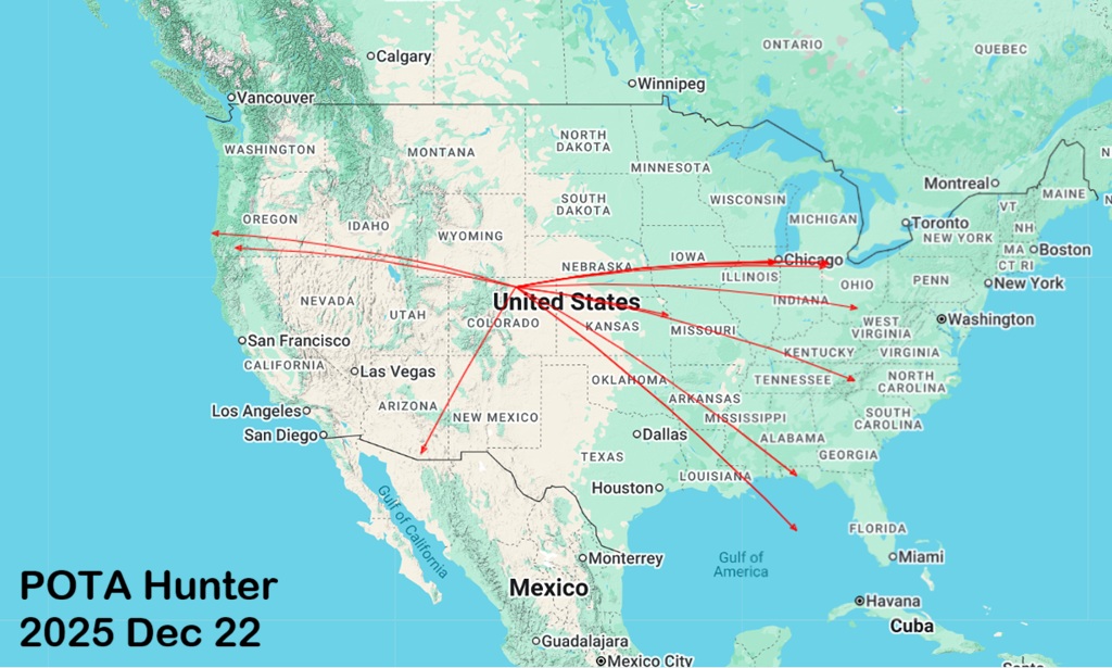
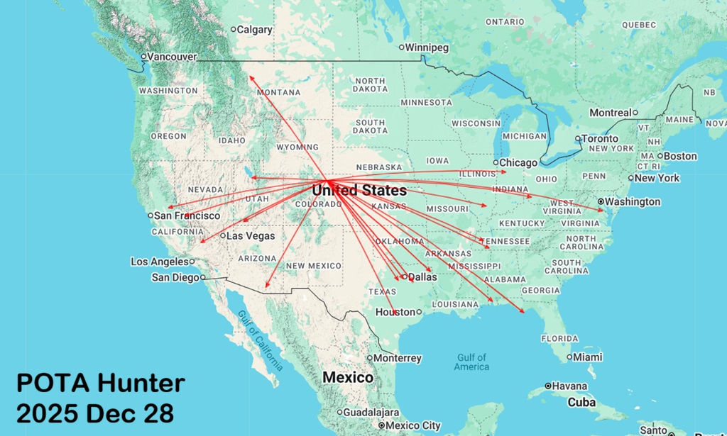
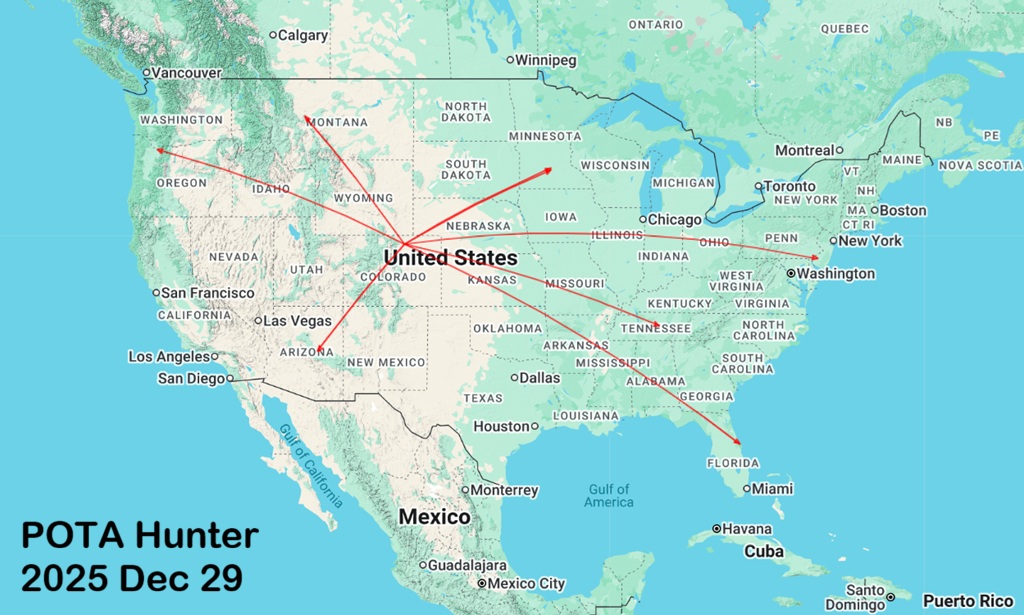
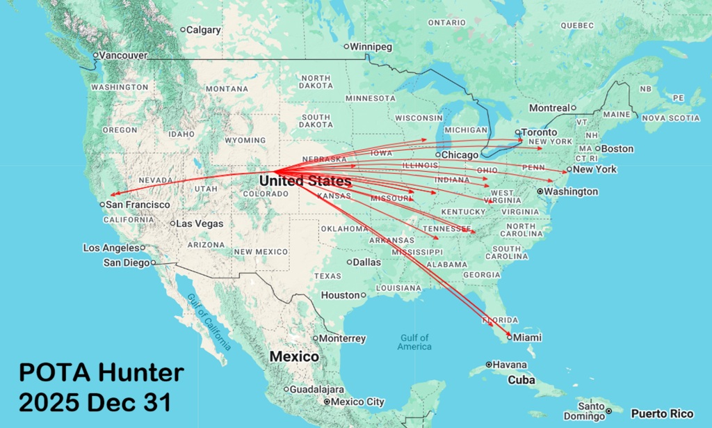
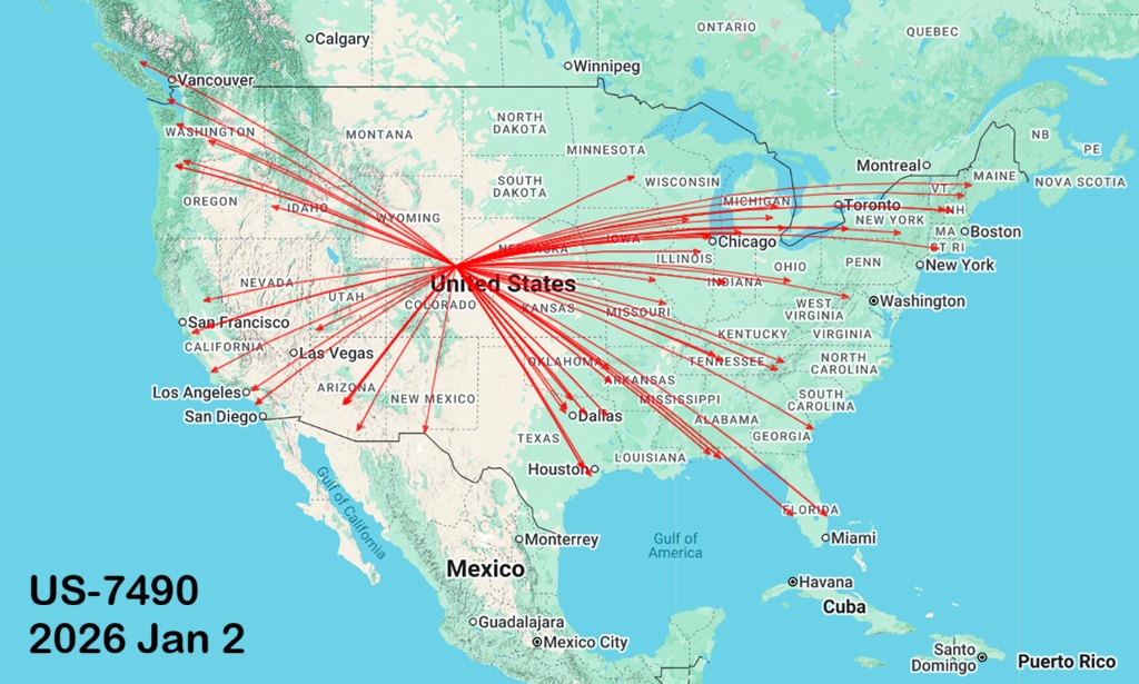
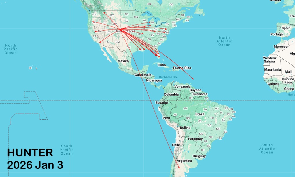
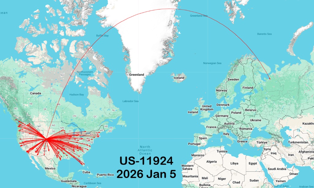
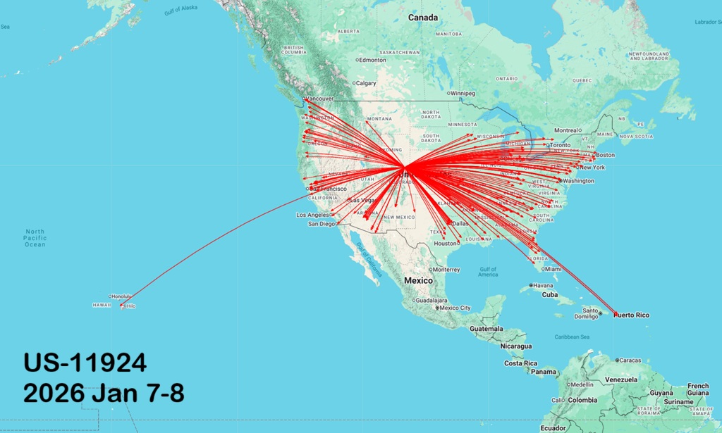
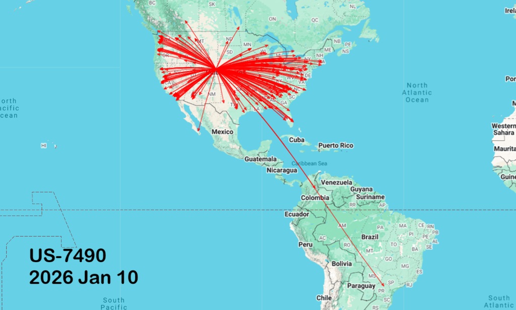
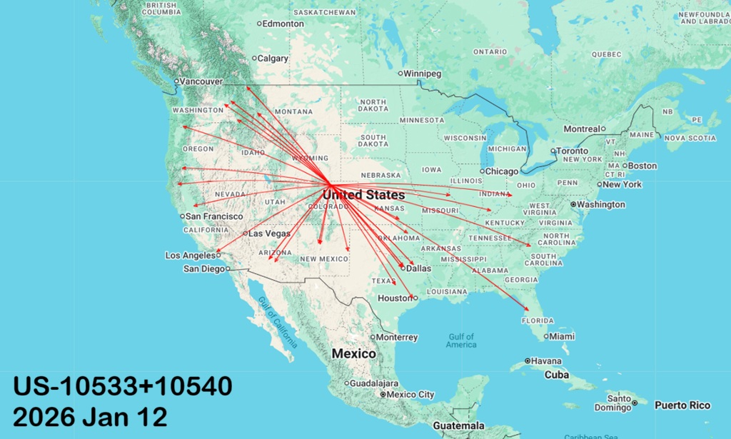
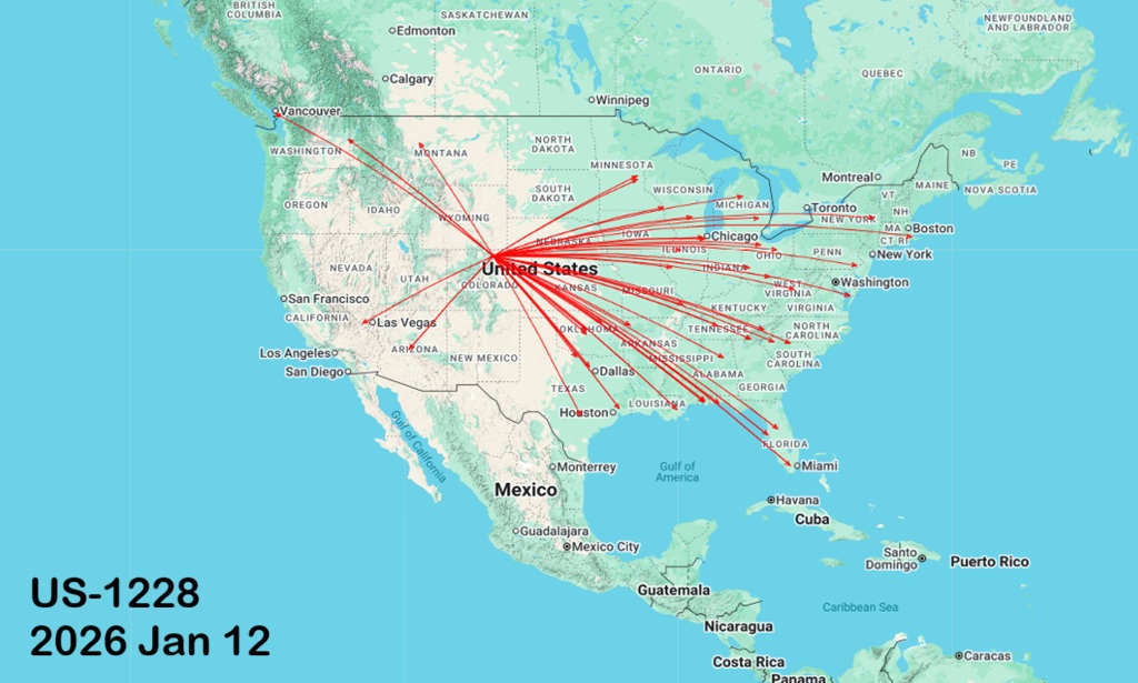
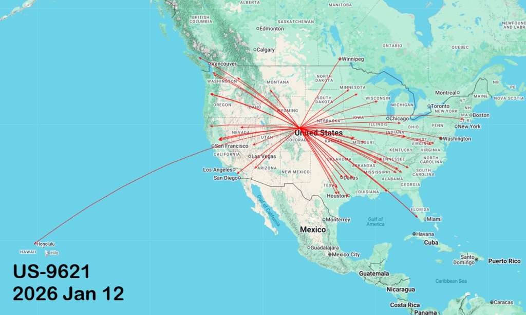
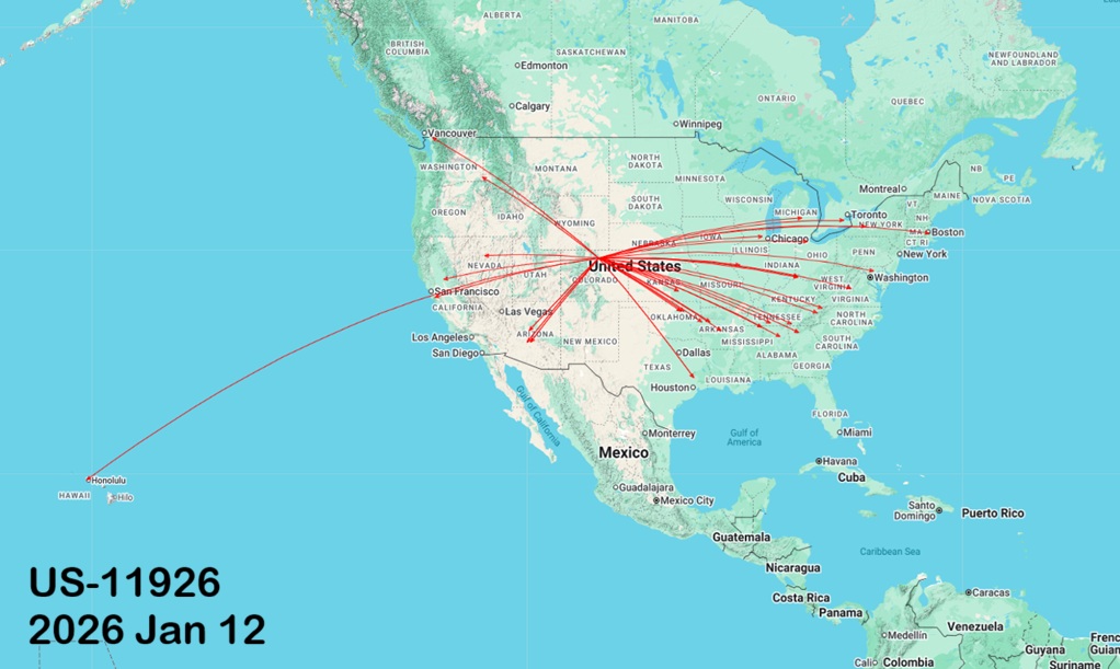
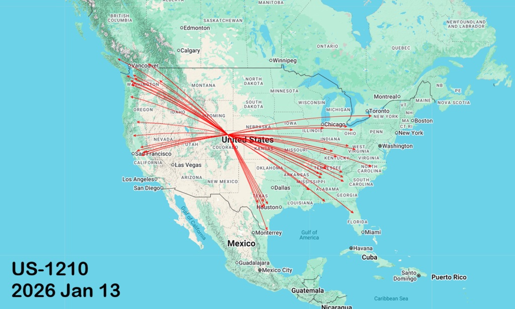
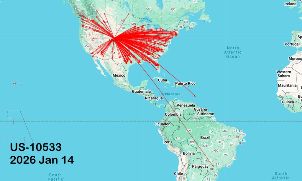
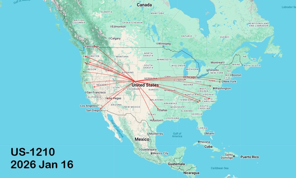
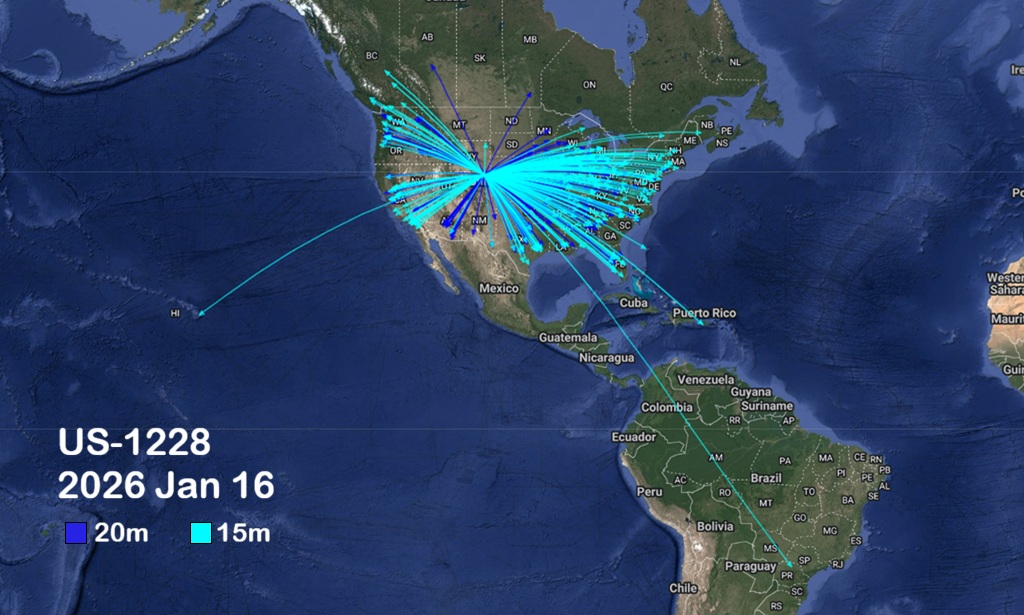
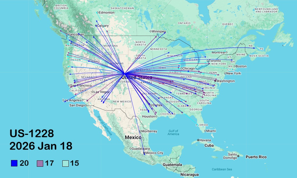
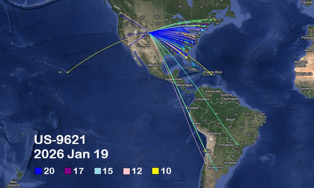
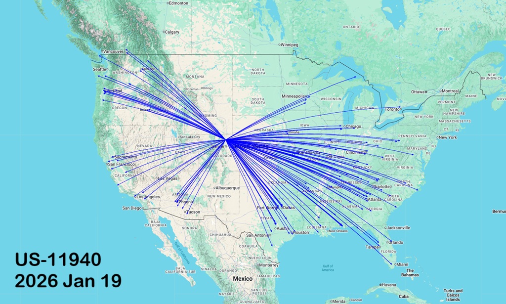
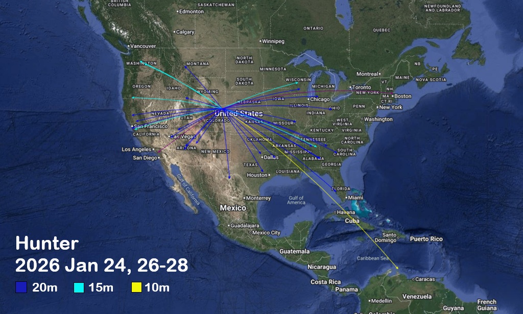
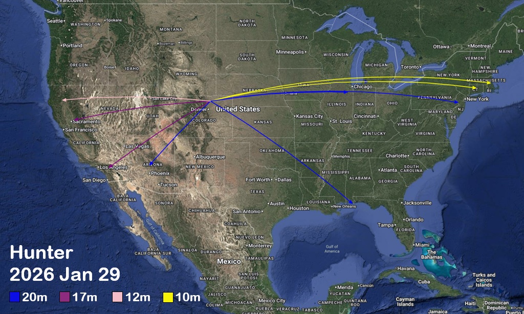
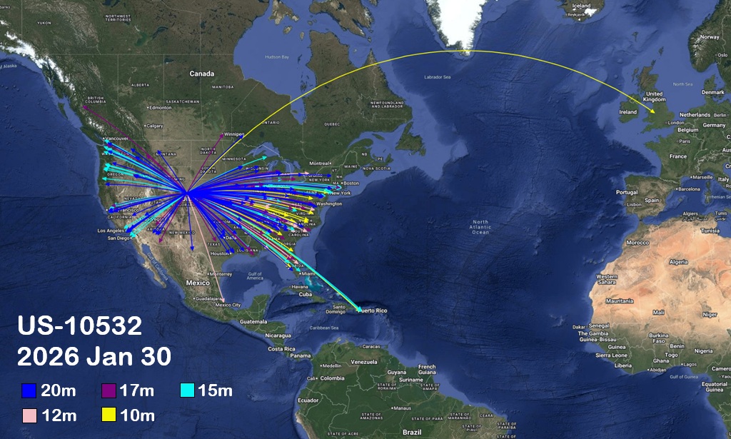
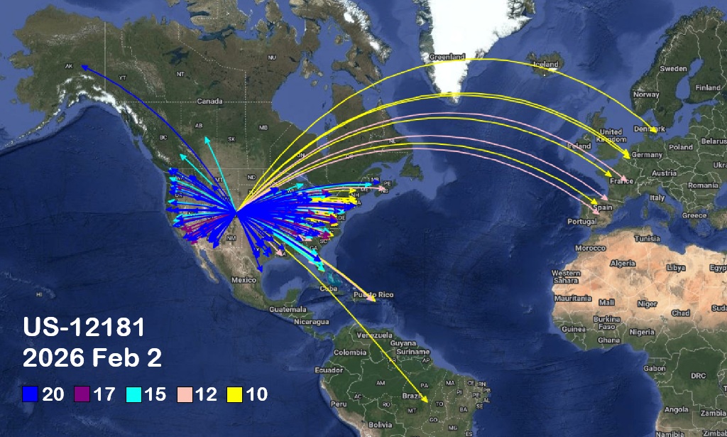
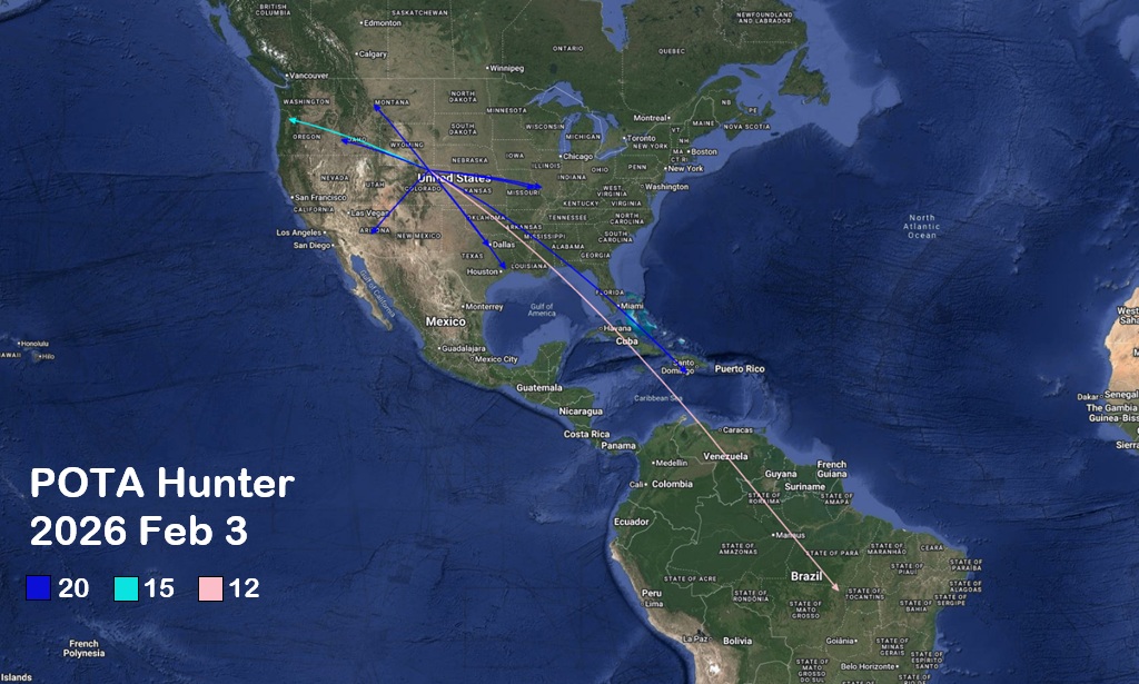
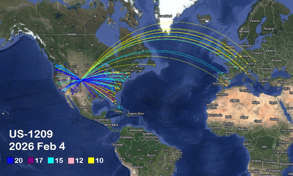
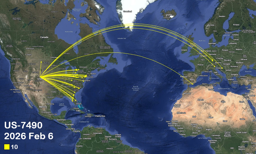
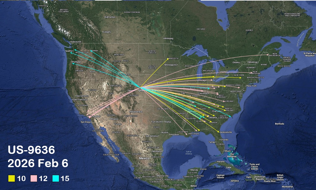
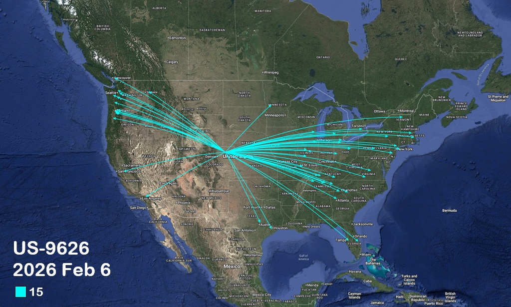
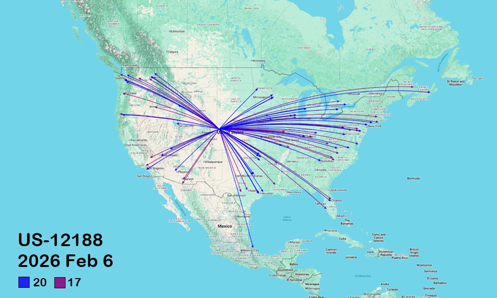
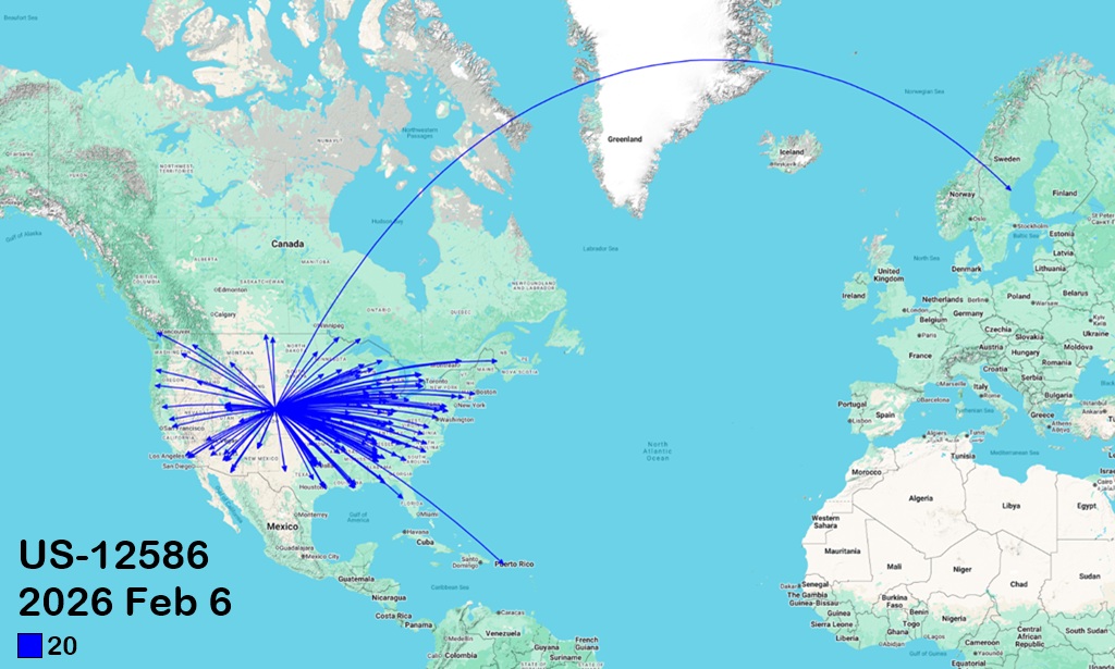
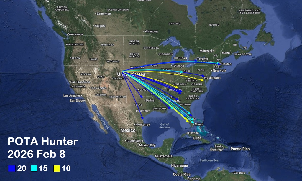
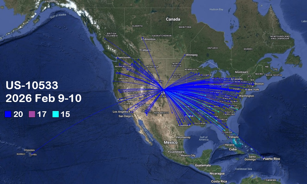
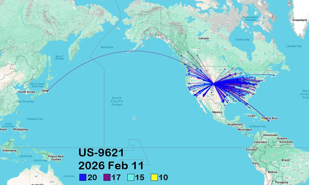
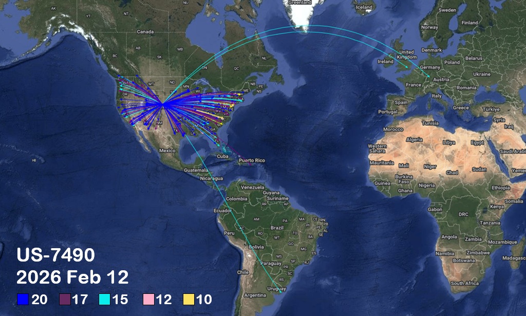
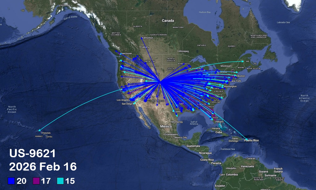
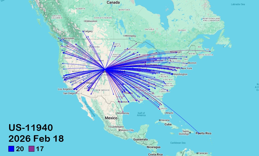
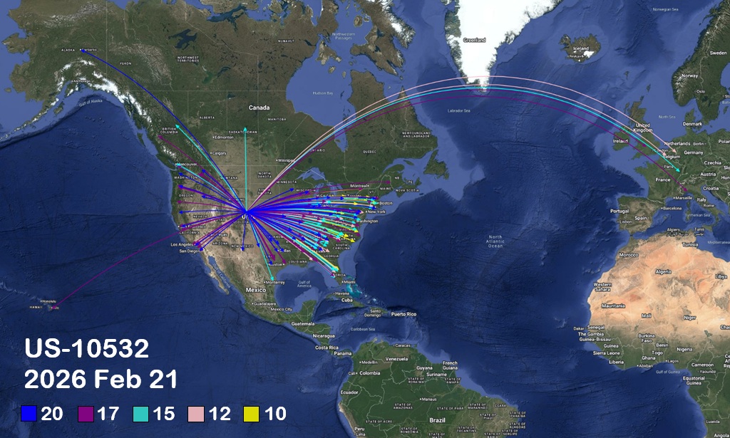
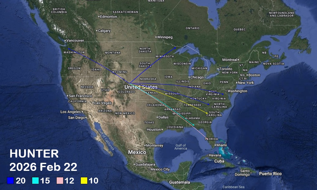
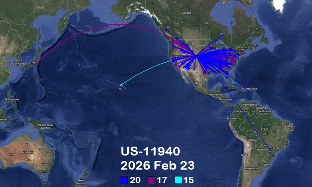
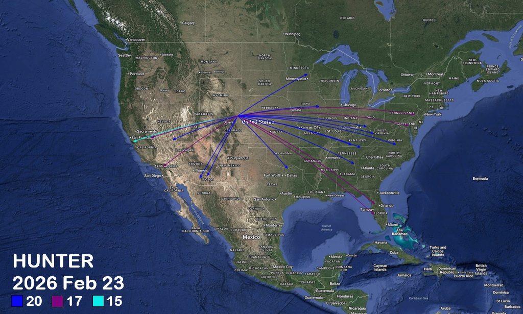
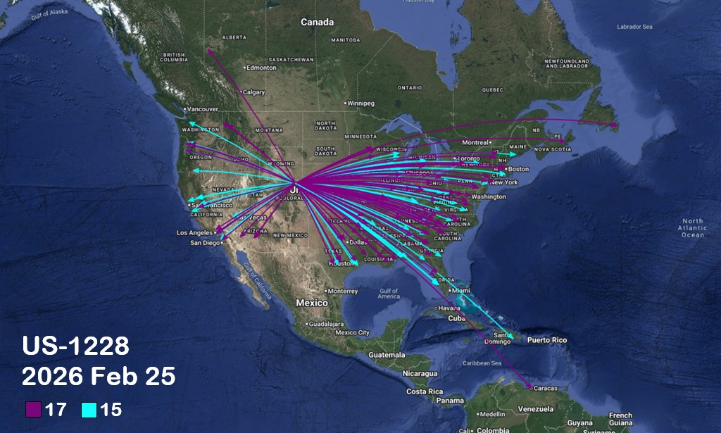
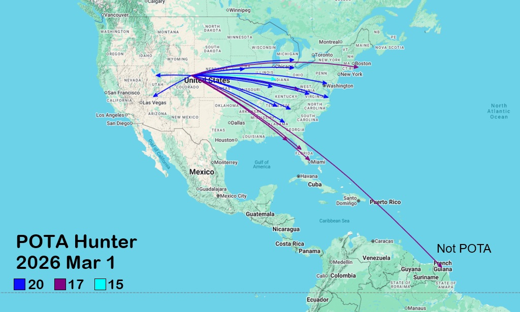
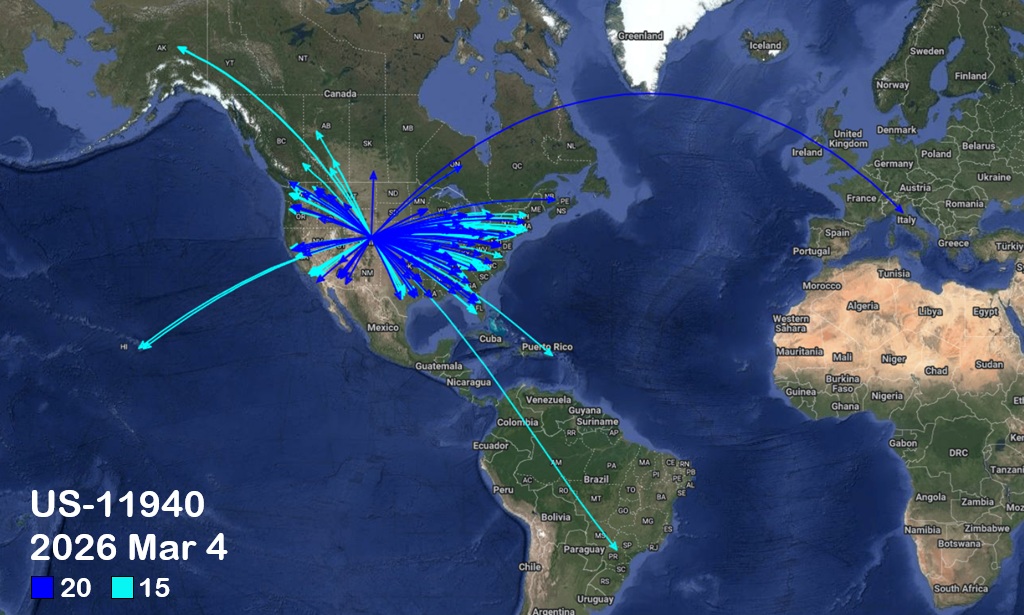
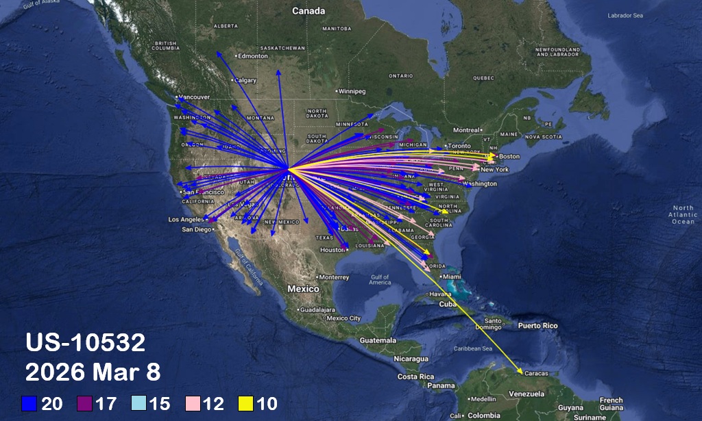
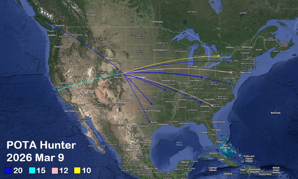
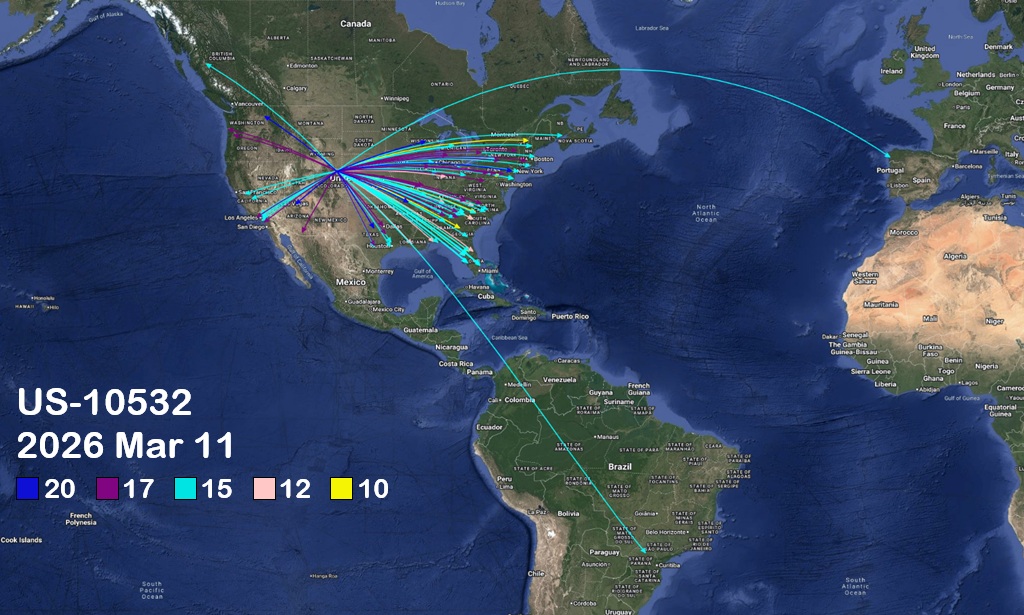
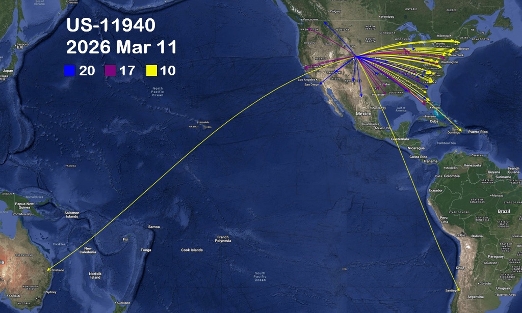
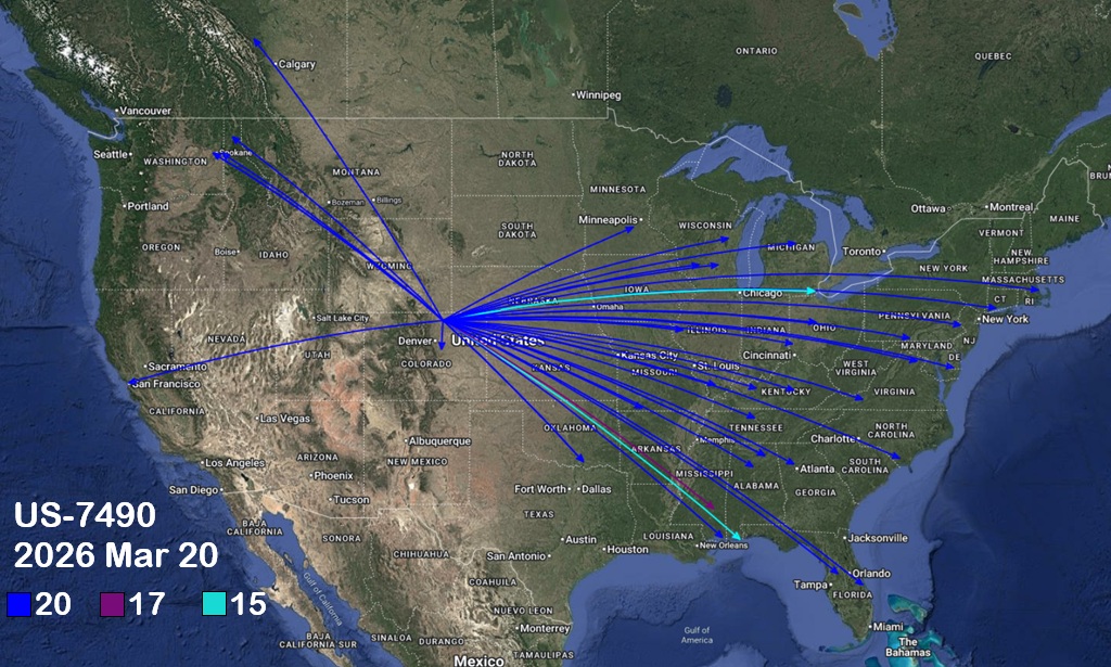
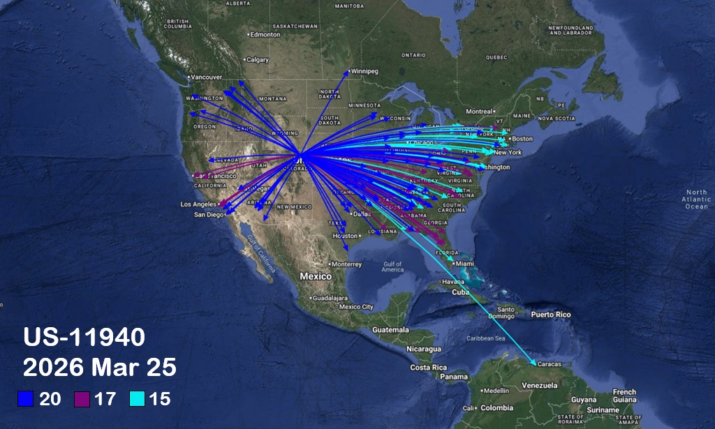
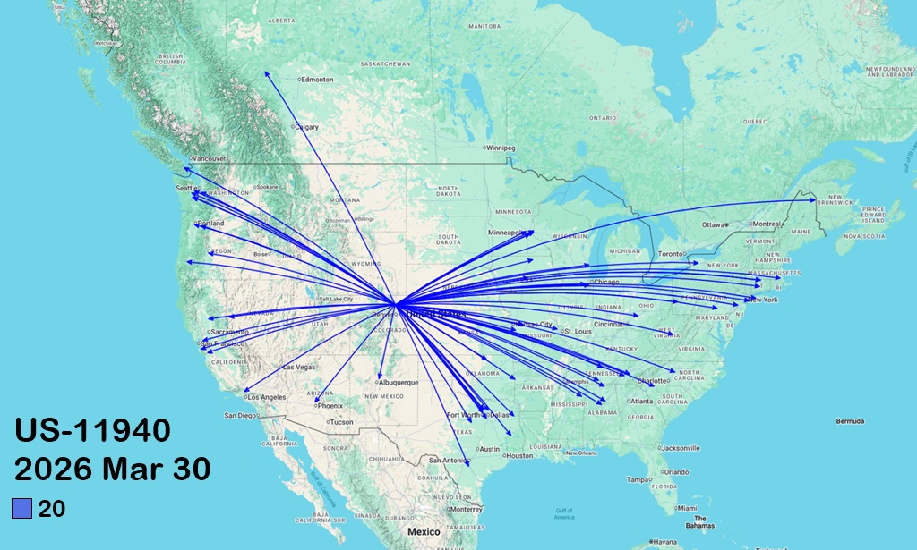
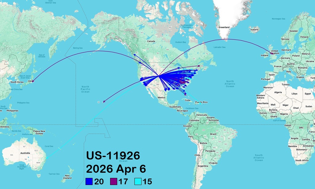
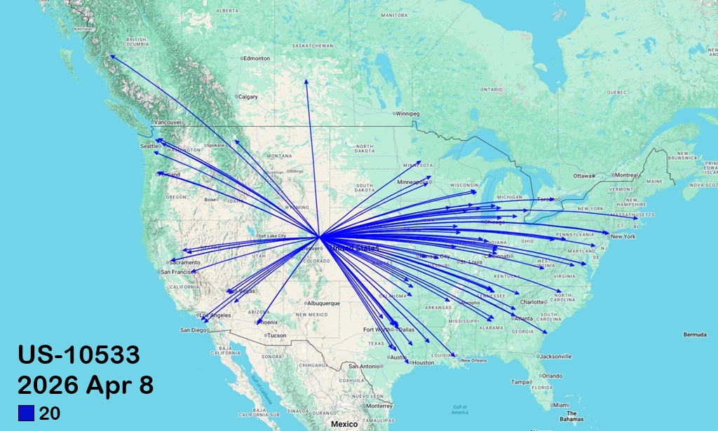
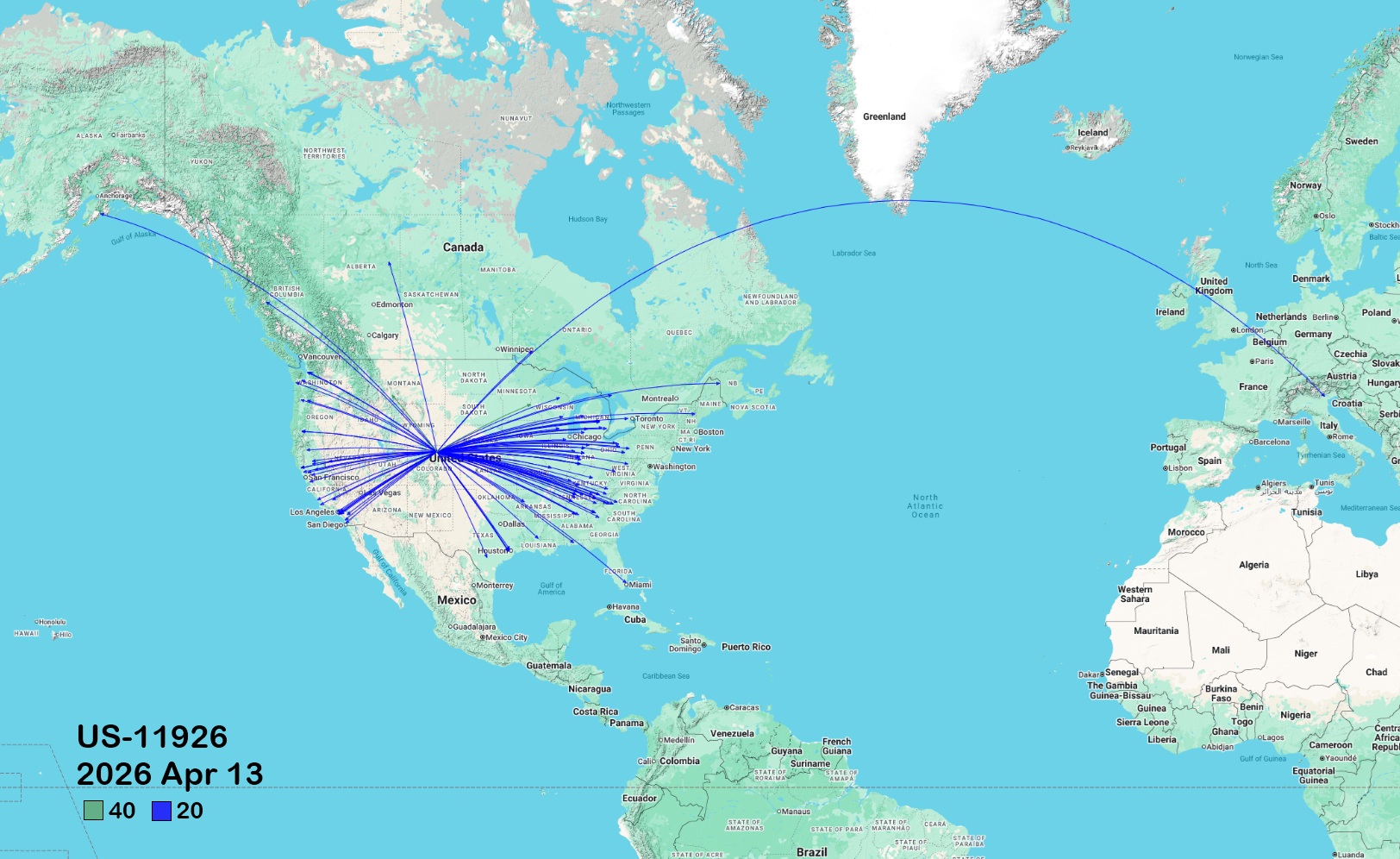
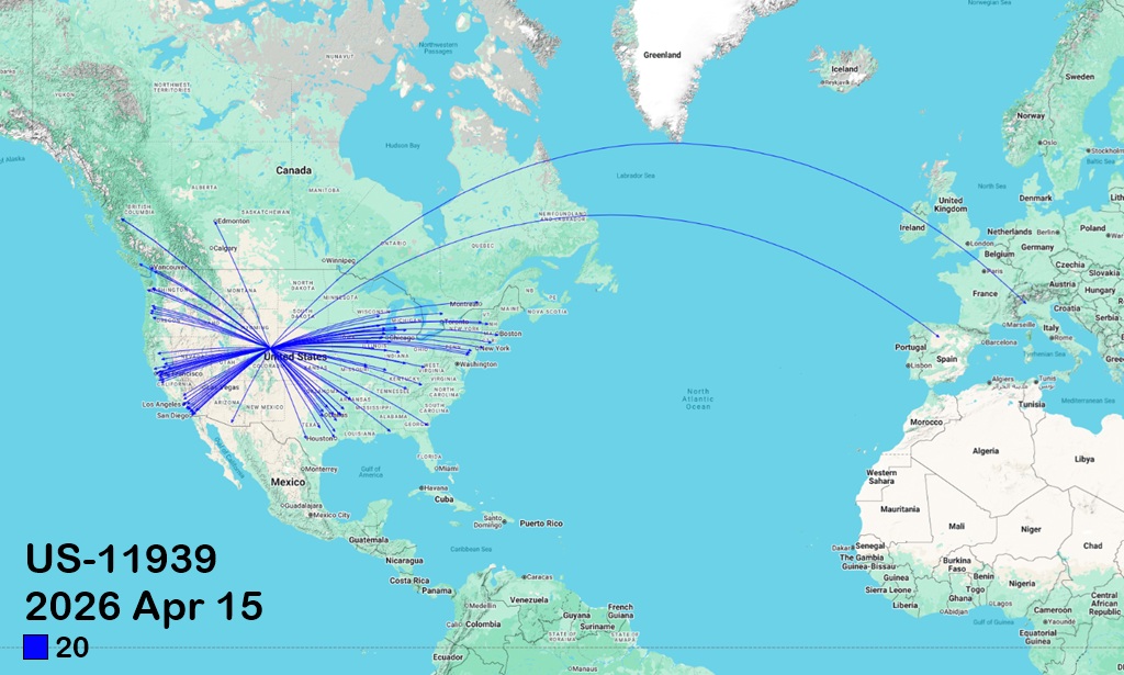
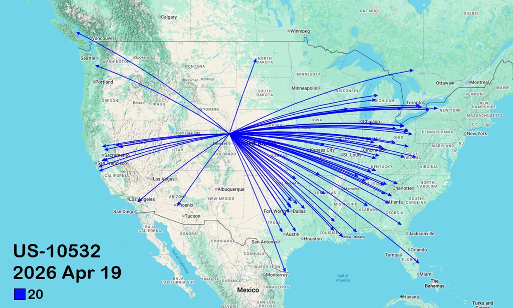
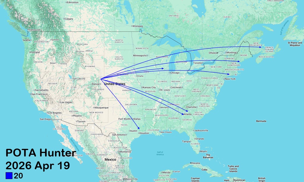
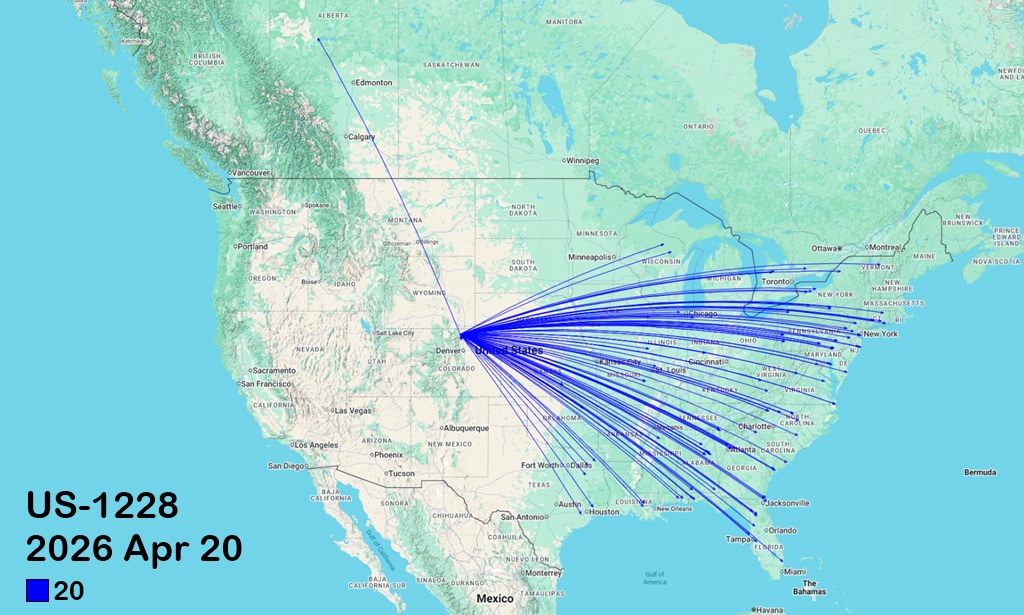
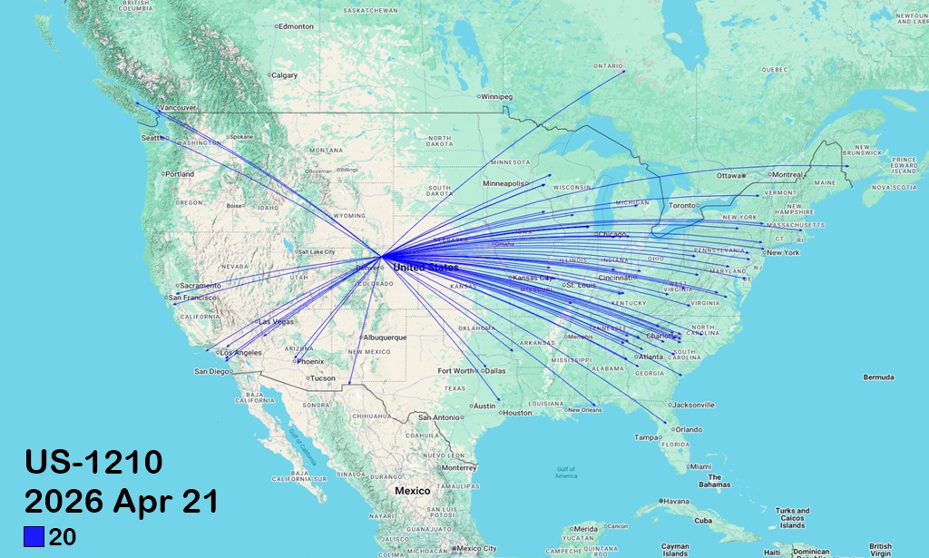
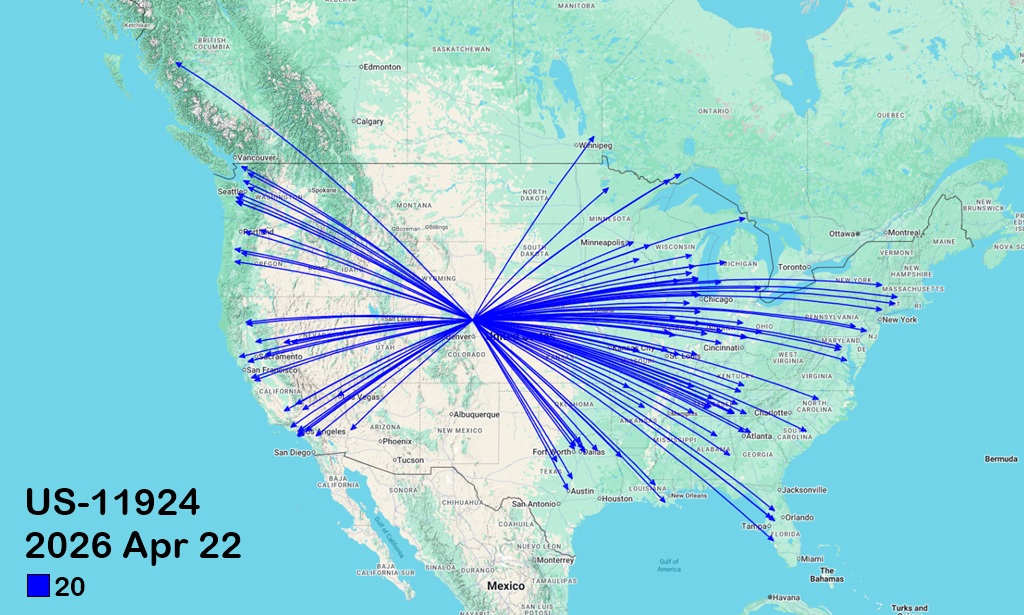
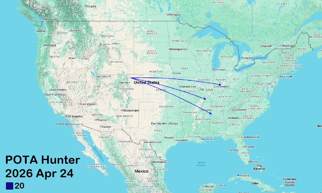
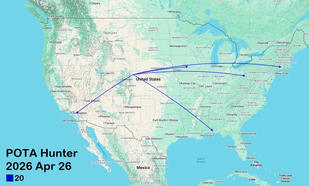
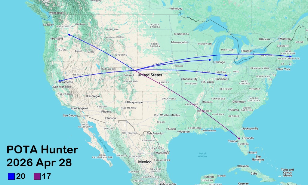
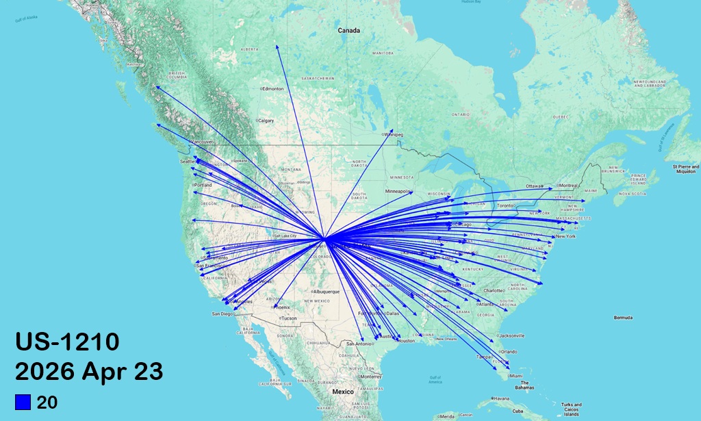
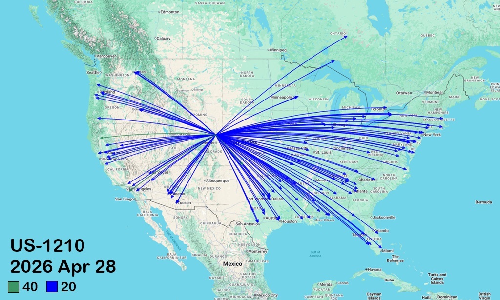
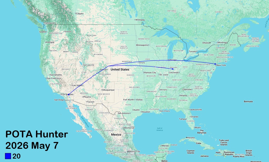
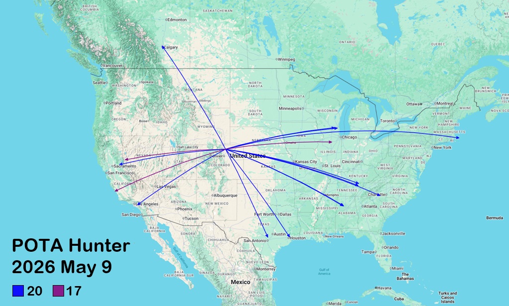
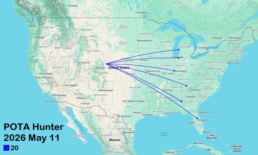
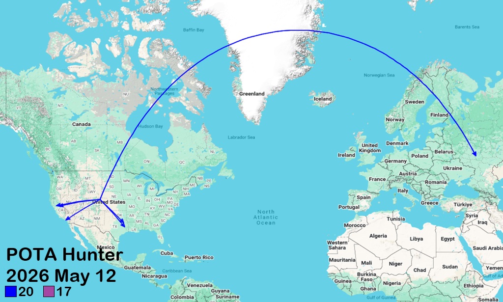
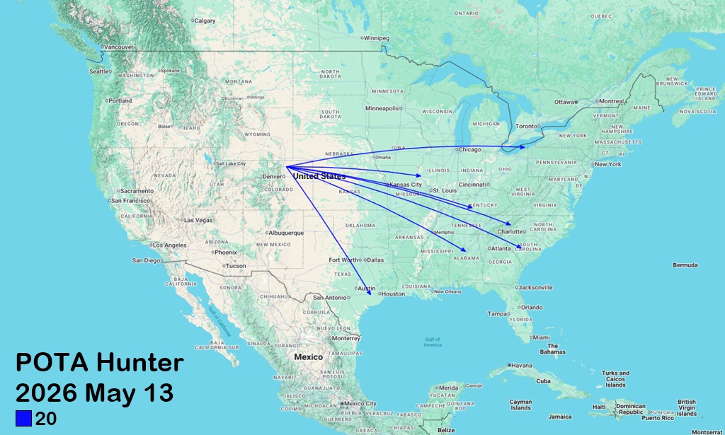
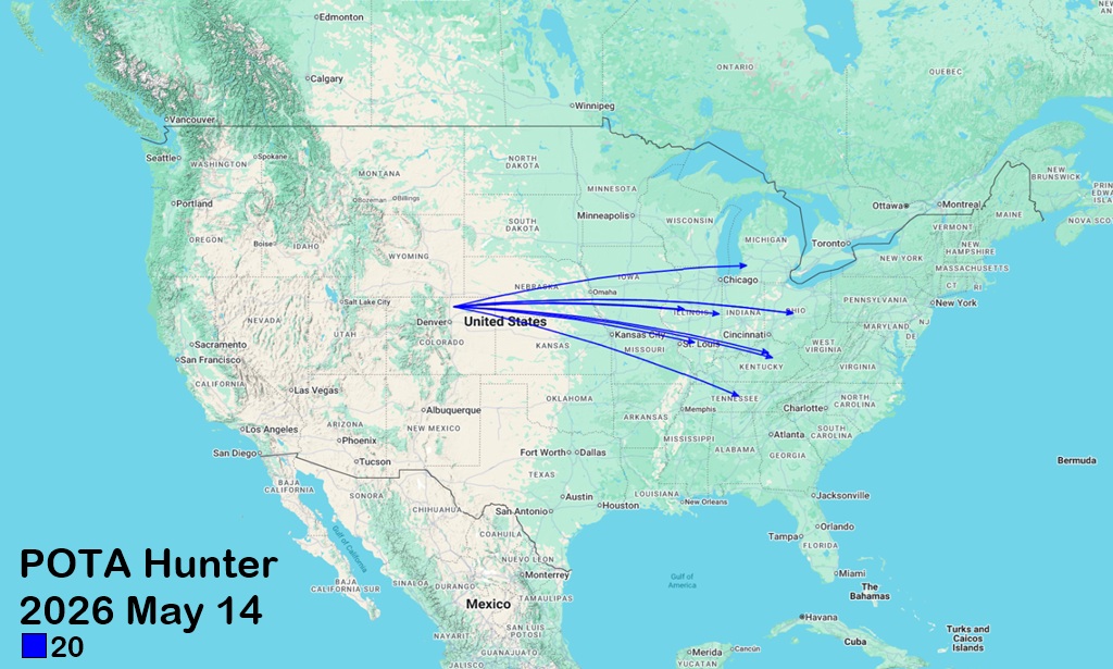
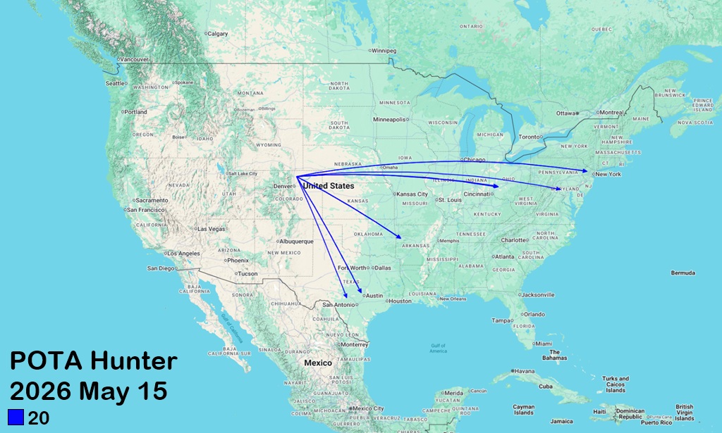
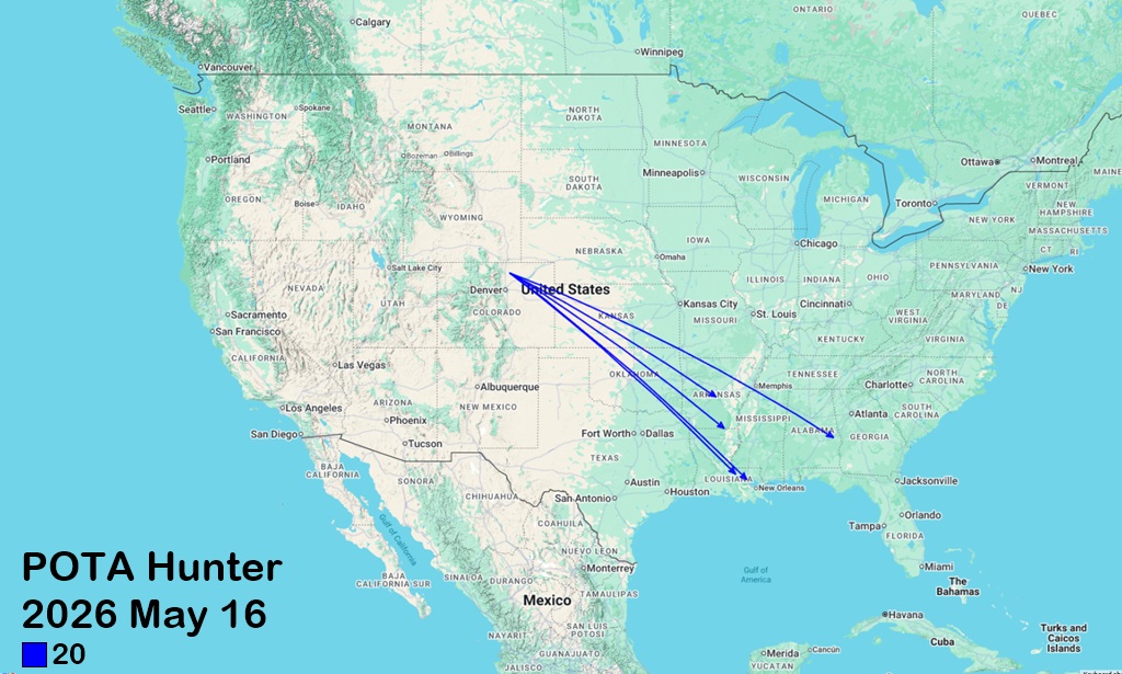
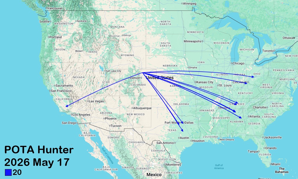
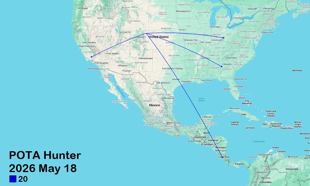
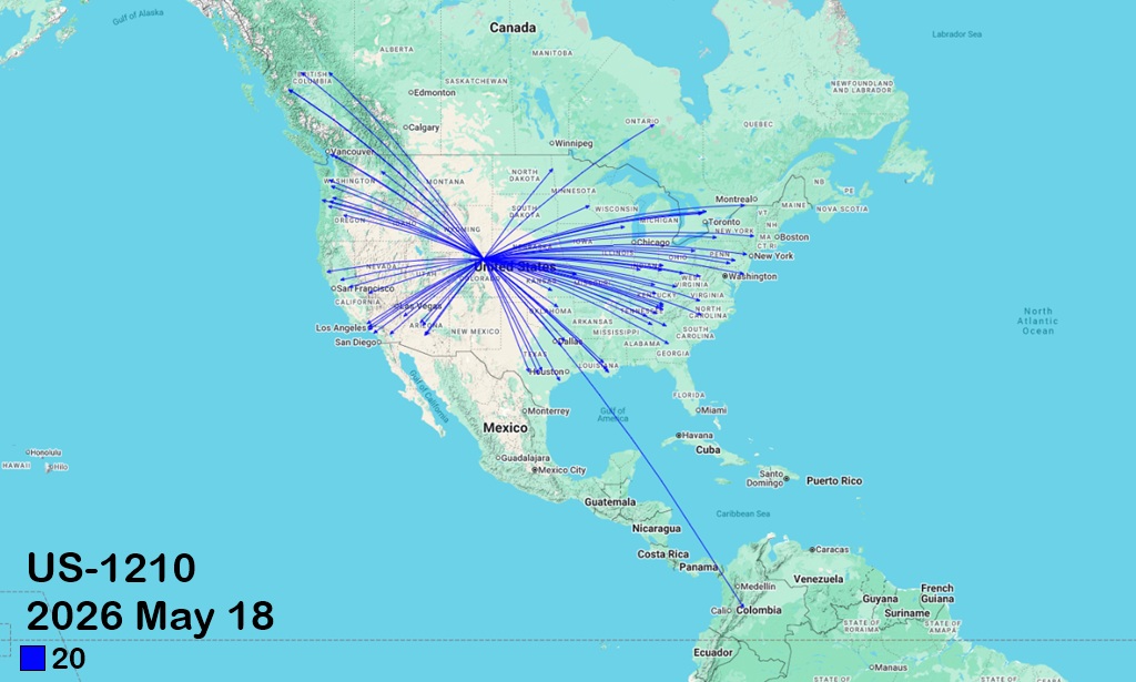
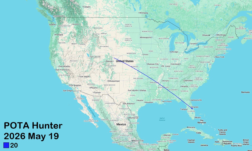
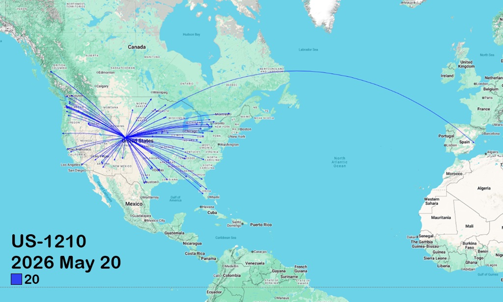
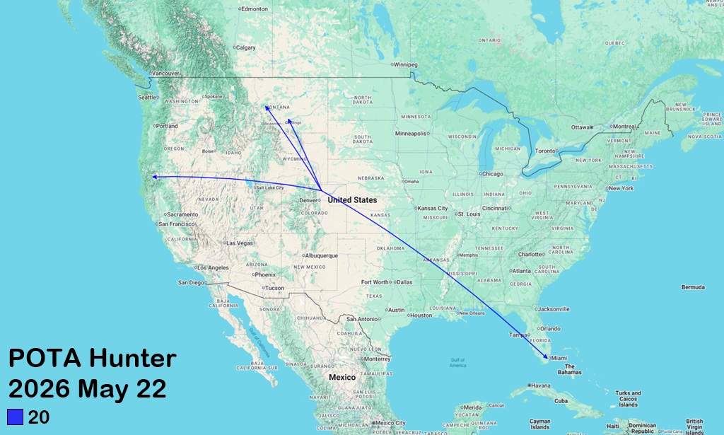
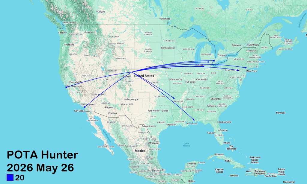
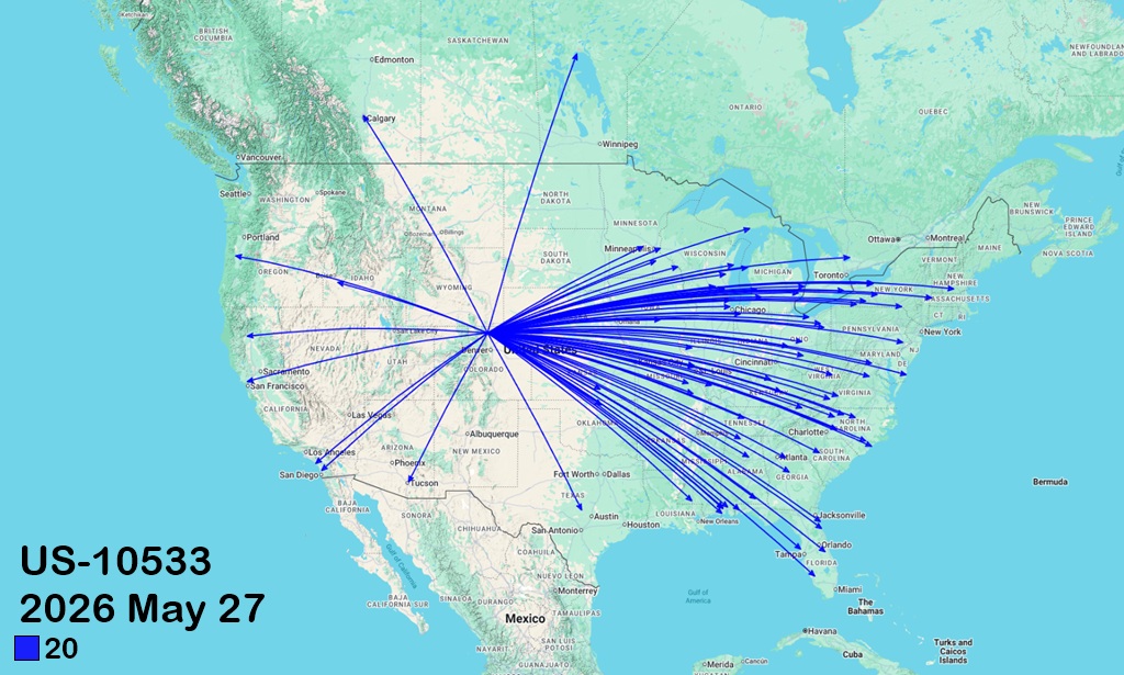
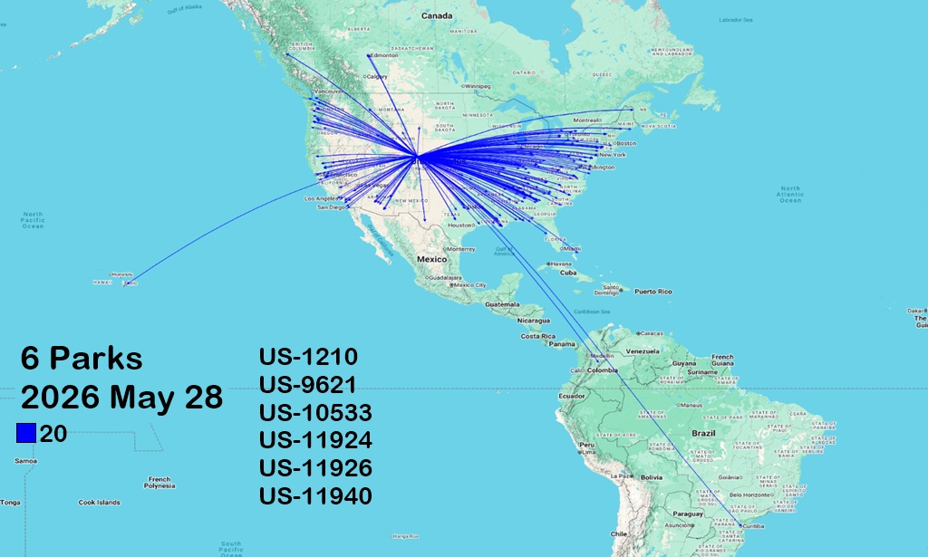
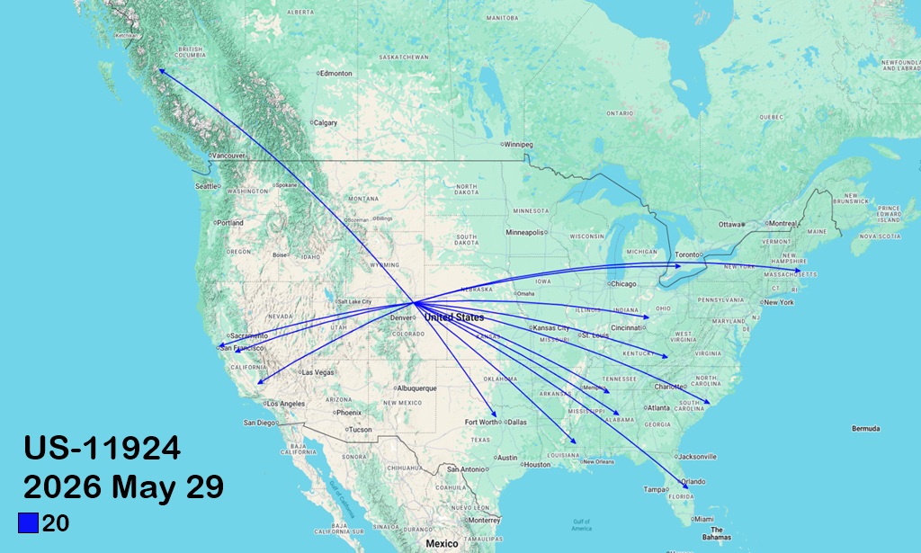
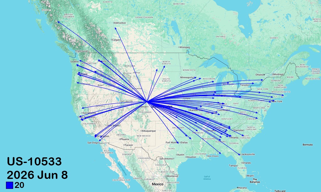
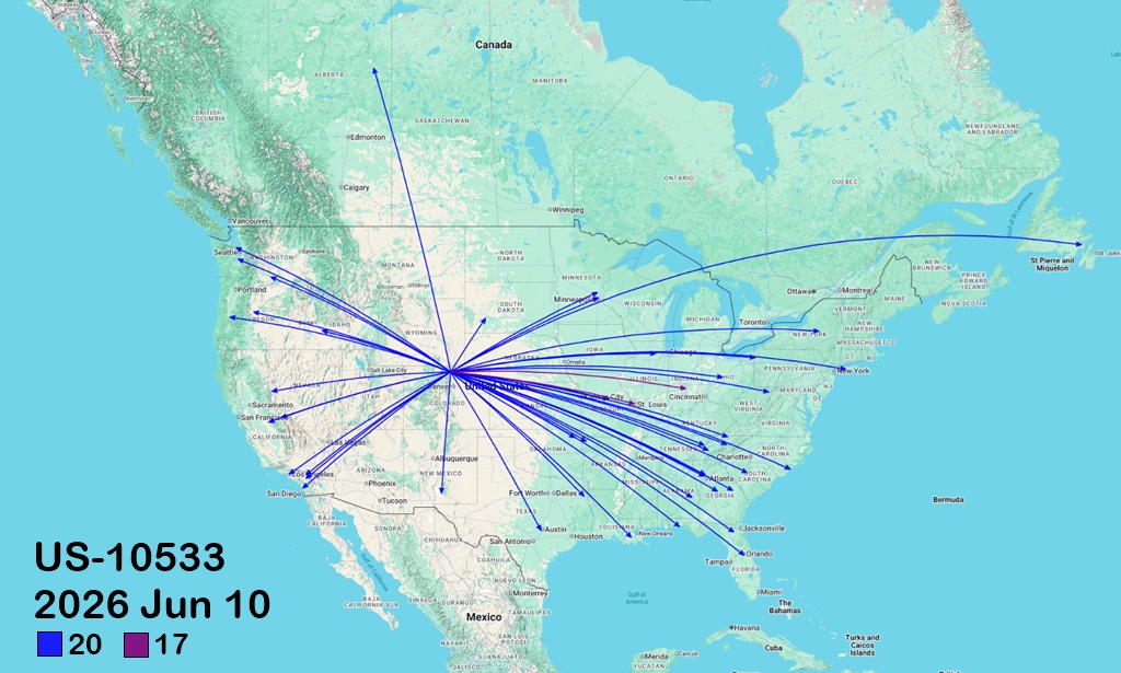
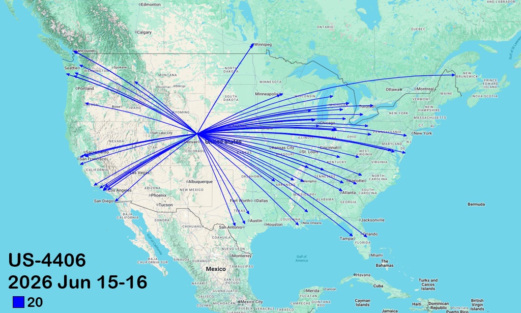
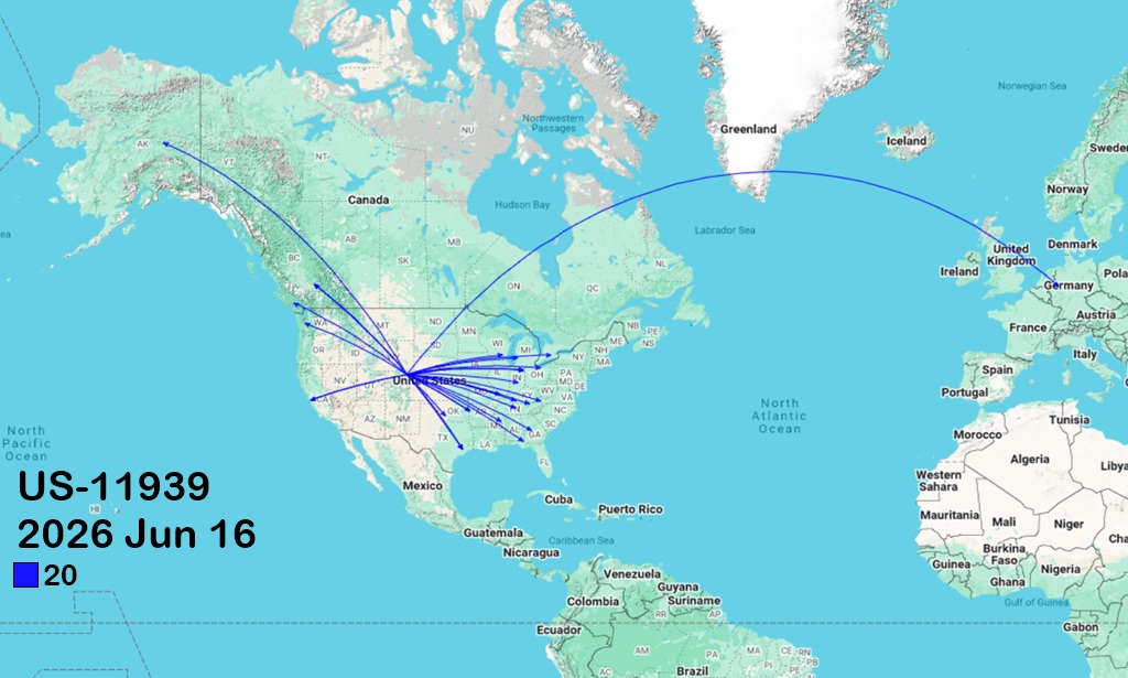
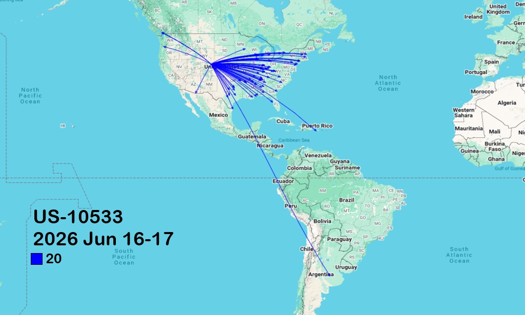
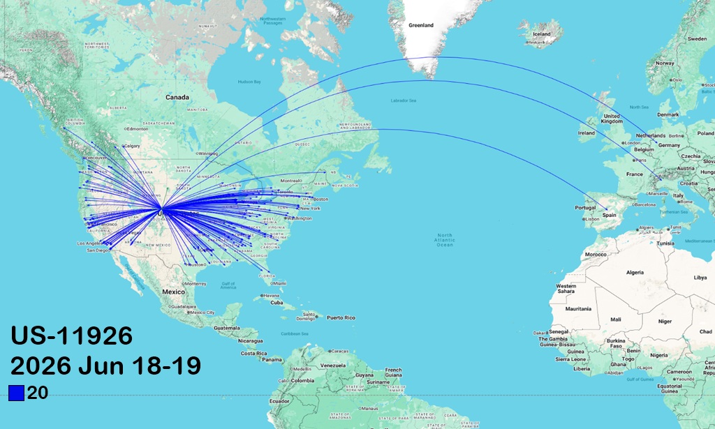
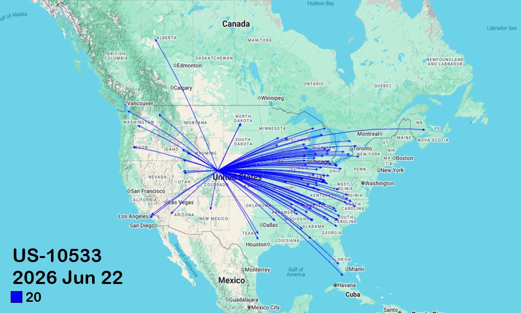
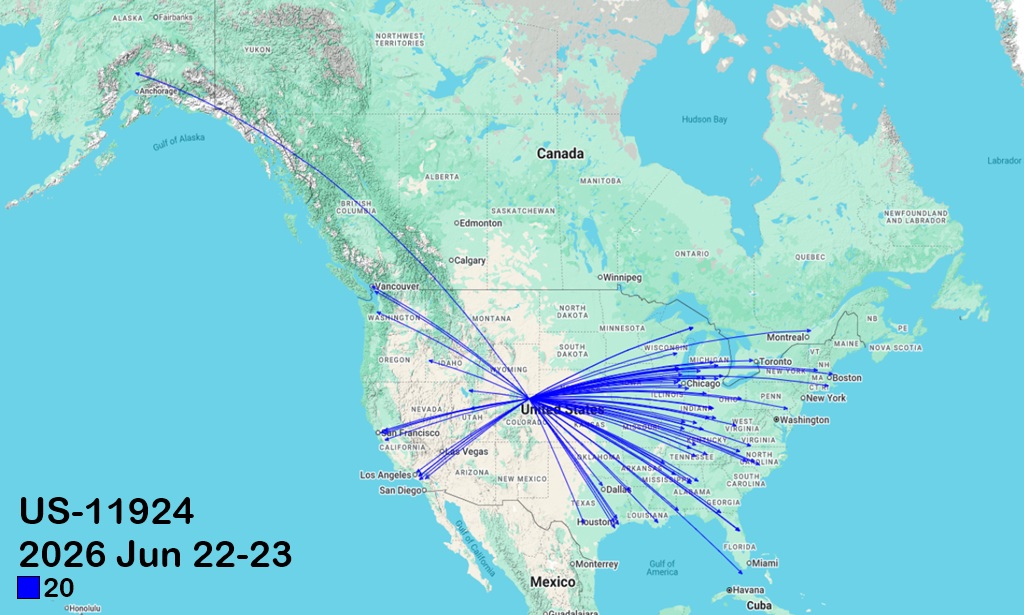
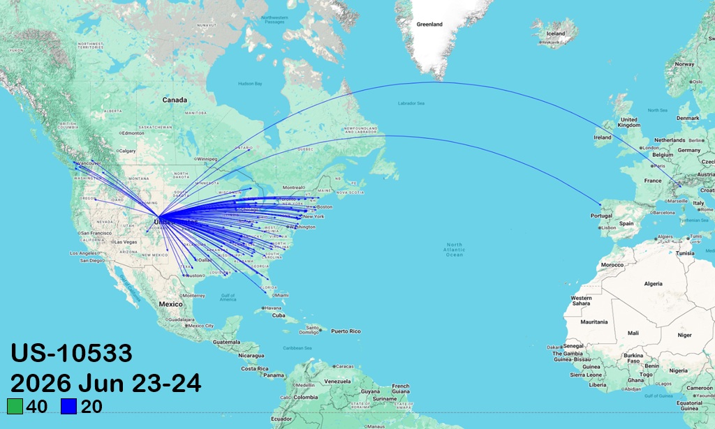
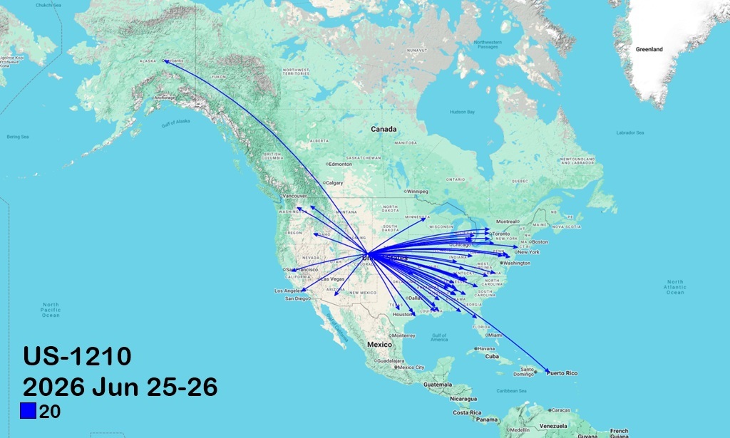
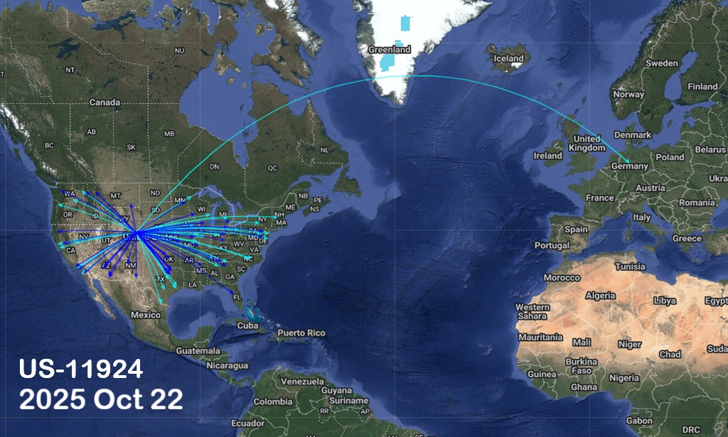
The table below lists my POTA activations or hunting sessions, first as WBØNWZ and then AAØBW (as of 2026 Feb 27). For each one, there is a polyline map generated by QSOmap.com that shows the QTH of the stations contacted. Only those stations listed in the QRZ database are mapped by QSOMap.com, so any given map may show considerably fewer QSOs than the actual number.
Map polyline origin points are my home QTH when hunting or the park grid when activating.
Abbreviations| IS | Interpretive Site | MA | Management Area | |
| NP | National Park | NRA | National Recreation Area | |
| Res | Reservoir | RMA | Recreational Management Area | |
| SFA | State Fish Hatchery | SP | State Park | |
| SWA. | State Wildlife Area | WA | Wilderness Area |
"HUNTER" is when I was working from my home QTH in Eaton, CO, and may include QSOs that were not with park activators. Otherwise, the name, state, and park number(s) when activating are given. If a park number, there is a link to the POTA page for that park. Click on the map to a 1024x615 version in a new window/tab.